


Species diversity estimation in a typical tropical forest: Which phenological stage and spatial resolution are suitable? – Frontiers
Report on Optimizing Remote Sensing Techniques for Tropical Forest Biodiversity Monitoring in Alignment with Sustainable Development Goals
1.0 Introduction: Forest Biodiversity and the 2030 Agenda
The effective monitoring of forest species diversity is a critical component of global efforts to achieve the United Nations Sustainable Development Goals (SDGs), particularly SDG 15 (Life on Land), which calls for the protection, restoration, and sustainable use of terrestrial ecosystems and the halting of biodiversity loss. Tropical forests, as hotspots of biodiversity, are central to this goal. This report summarizes a study that leverages satellite remote sensing to enhance the monitoring of these vital ecosystems, providing a scalable and repeatable methodology. The research contributes directly to Target 15.5 (reduce degradation of natural habitats and halt biodiversity loss) and supports SDG 13 (Climate Action) by improving the management of forests as critical carbon sinks. Furthermore, by advancing scientific and technological capabilities, this work aligns with SDG 9 (Industry, Innovation, and Infrastructure).
2.0 Research Objectives and Methodology
The primary objective of this research was to identify the optimal temporal and spatial parameters for estimating forest species diversity using satellite data in the Jianfengling tropical forest, China. This addresses a significant challenge in deploying remote sensing for large-scale conservation efforts aligned with SDG 15.
2.1 Study Area and Data
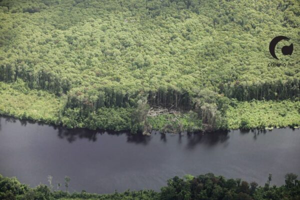
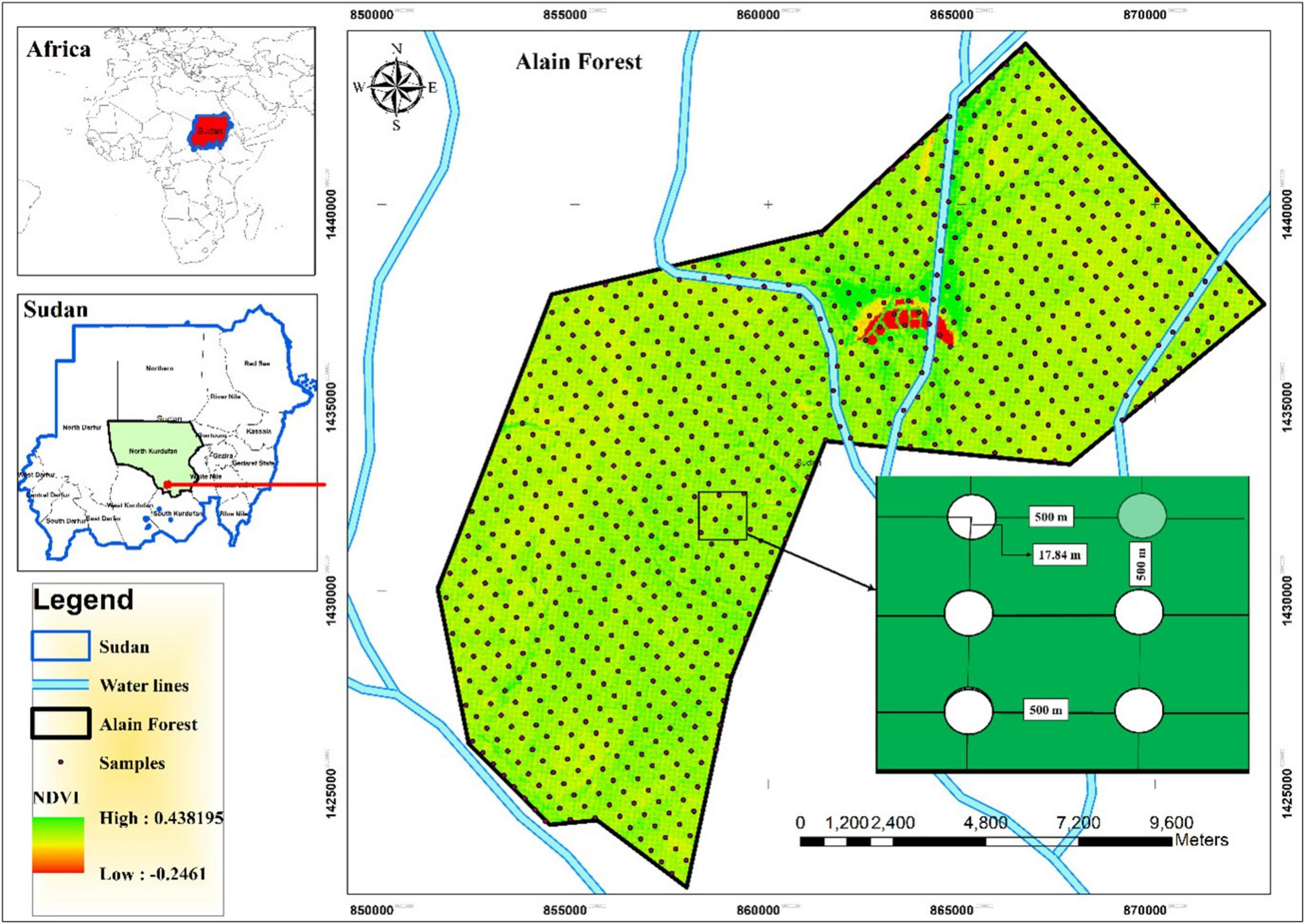
- Location: Jianfengling tropical forest, a key biodiversity area in southern China.
- Satellite Data for Phenological Analysis: Six Sentinel-2 images acquired bimonthly to assess seasonal influence on monitoring accuracy.
- Satellite Data for Spatial Scale Analysis: A high-resolution GF2 image resampled to five resolutions (0.8m, 2m, 4m, 5m, 10m).
- Ground Truth Data: In-situ species diversity measurements.
2.2 Analytical Framework
A systematic approach was employed to model the relationship between satellite-derived data and on-the-ground biodiversity.
- Biodiversity Indices: Three standard indices were calculated to quantify species diversity:
- Richness
- Simpson Index
- Shannon-Wiener Index
- Remote Sensing Metrics: Heterogeneity metrics derived from spectral and structural information were used as predictors.
- Statistical Modeling: Stepwise linear regression models were constructed to identify the most significant predictors and optimal parameters for estimating the biodiversity indices.
3.0 Key Findings and Implications for SDG Implementation
The results provide critical guidance for designing effective and efficient monitoring programs that support the achievement of the Sustainable Development Goals.
3.1 Optimal Phenological Period for Monitoring
- The most suitable periods for estimating species diversity were identified as the beginning and end of the growing season.
- September imagery yielded the highest accuracy across all three diversity indices.
- SDG Implication: This finding allows conservation agencies to schedule data acquisition strategically, maximizing the accuracy and cost-effectiveness of biodiversity monitoring efforts under SDG 15.
3.2 Optimal Spatial Resolution
- An optimal spatial resolution of 4-5 meters was determined for estimating the Richness and Shannon-Wiener indices.
- This resolution corresponds to the average tree crown size in the study area, indicating that monitoring is most effective when the sensor resolution aligns with the ecological unit of interest.
- SDG Implication: By defining the most appropriate data scale, this result helps ensure that investments in remote sensing technology for environmental protection (SDG 9) deliver the most reliable data for tracking progress on SDG 15 targets.
3.3 Significance of Predictive Metrics
- Spectral information consistently explained the majority of the variance in species diversity across all time periods.
- Texture features also made a significant contribution to the models, particularly at the optimal spatial resolution.
- SDG Implication: This highlights the importance of multi-faceted data analysis. For robust monitoring systems supporting SDG 13 and SDG 15, it is crucial to integrate both spectral and textural (structural) information from satellite imagery.
4.0 Conclusion
This research underscores that the accuracy of remote sensing-based biodiversity monitoring is highly dependent on the spatiotemporal scale of the data. The findings offer practical, evidence-based guidance for selecting appropriate satellite data and analytical methods for monitoring species diversity in complex tropical forest ecosystems. By optimizing these technical parameters, stakeholders can more effectively and efficiently track progress towards halting biodiversity loss, managing forests sustainably, and meeting the ambitious targets of the UN Sustainable Development Goals, particularly SDG 15 (Life on Land).
SDGs Addressed in the Article
Primary SDG
- SDG 15: Life on Land – This is the most central goal, as the article’s entire focus is on developing methods for the “accurate measurement and dynamic monitoring of forest parameters,” specifically “species diversity” in a “tropical forest.” The research directly contributes to the sustainable management of terrestrial ecosystems and halting biodiversity loss.
Connected SDGs
- SDG 9: Industry, Innovation, and Infrastructure – The article is a “ORIGINAL RESEARCH article” that relies on technological innovation. It uses advanced tools like “Satellite remote sensing data” (Sentinel-2, GF2) and sophisticated analytical methods (“stepwise linear regression models”) to enhance scientific research capabilities for environmental monitoring.
- SDG 17: Partnerships for the Goals – The research is a collaborative effort between multiple institutions, including the “Key Laboratory of Earth Observation of Hainan Province… Chinese Academy of Sciences” and the “Hainan Jianfengling National Key Field Station for Forest Ecosystem… Chinese Academy of Forestry.” Publishing this research in an open-access journal promotes the dissemination of scientific knowledge.
Specific Targets Identified
- Target 15.5: Take urgent and significant action to reduce the degradation of natural habitats, halt the loss of biodiversity and, by 2020, protect and prevent the extinction of threatened species.
- The article directly addresses this target by focusing on methods to estimate “species diversity” using various indices. The study’s aim to find the “optimal time window, spatial resolution, and metrics for species diversity estimation” is fundamental to monitoring and ultimately halting biodiversity loss.
- Target 15.2: By 2020, promote the implementation of sustainable management of all types of forests, halt deforestation, restore degraded forests and substantially increase afforestation and reforestation globally.
- The research provides “practical guidance for selecting appropriate data and methods for species diversity monitoring in tropical forests.” This guidance is a critical tool for implementing sustainable forest management, as effective management relies on accurate and timely data about the forest’s condition.
- Target 15.1: By 2020, ensure the conservation, restoration and sustainable use of terrestrial and inland freshwater ecosystems and their services, in particular forests…
- The development of “large-scale, timely, and repeatable monitoring of forest species diversity” through satellite data is a key component of ensuring the conservation and sustainable use of forest ecosystems. The study’s location in the “Jianfengling tropical forest” highlights its application to a vital ecosystem.
- Target 9.5: Enhance scientific research, upgrade the technological capabilities of industrial sectors in all countries… encouraging innovation.
- The study is an example of enhancing scientific research. It evaluates and refines the use of high-tech tools (“Sentinel-2 images,” “GF2 image”) and analytical techniques to improve monitoring capabilities, thereby upgrading the technological capacity for environmental science.
Indicators Mentioned or Implied
- Species Diversity Indices (Richness, Simpson, and Shannon-Wiener)
- The article explicitly states that it constructed models for “estimating Richness, Simpson, and Shannon-Wiener indices using in-situ species diversity.” These three indices are the direct, quantitative indicators used in the study to measure the level of species diversity in the forest.
- Heterogeneity Metrics of Spectra and Structure
- The research uses “heterogeneity metrics of spectra and structure” derived from satellite imagery as proxy indicators for biodiversity. The article notes that “spectral information consistently explained most variance in species diversity indices,” making it a key implied indicator of forest health and diversity.
- Optimal Spatiotemporal Scales for Monitoring
- The study identifies specific, measurable parameters that serve as indicators for effective monitoring. These include the optimal phenological period (“September performing the best”) and the optimal spatial resolution (“4-5 m, which corresponded to the average tree crown size”). These findings act as indicators for how to best design future monitoring programs.
Summary Table of SDGs, Targets, and Indicators
| SDGs | Targets | Indicators |
|---|---|---|
| SDG 15: Life on Land |
15.5: Halt biodiversity loss.
15.2: Promote sustainable management of all types of forests. 15.1: Ensure the conservation and sustainable use of forests. |
– Species diversity indices (Richness, Simpson, Shannon-Wiener). – Heterogeneity metrics of spectra and structure from satellite data. – Identification of optimal phenological periods (e.g., September) for monitoring. |
| SDG 9: Industry, Innovation, and Infrastructure | 9.5: Enhance scientific research and upgrade technological capabilities. |
– Application of satellite remote sensing data (Sentinel-2, GF2). – Use of stepwise linear regression models for estimation. – Determination of optimal spatial resolution (4-5 m) for data acquisition. |
| SDG 17: Partnerships for the Goals | 17.6: Enhance cooperation on and access to science, technology and innovation. |
– Collaboration between the Chinese Academy of Sciences and the Chinese Academy of Forestry. – Publication in an open-access international journal. |
Source: frontiersin.org

What is Your Reaction?
 Like
0
Like
0
 Dislike
0
Dislike
0
 Love
0
Love
0
 Funny
0
Funny
0
 Angry
0
Angry
0
 Sad
0
Sad
0
 Wow
0
Wow
0