NASA-Led Mission to Map Air Pollution Over Both U.S. Coasts – NASA


NASA Conducts Airborne Research to Support Sustainable Development Goals
This summer, NASA will be conducting airborne research flights between June 17 and July 2 to collect data on air pollutants and greenhouse gas emissions. The campaign is part of the NASA Student Airborne Research Program, which aims to provide research opportunities for undergraduate interns.
East Coast Flights
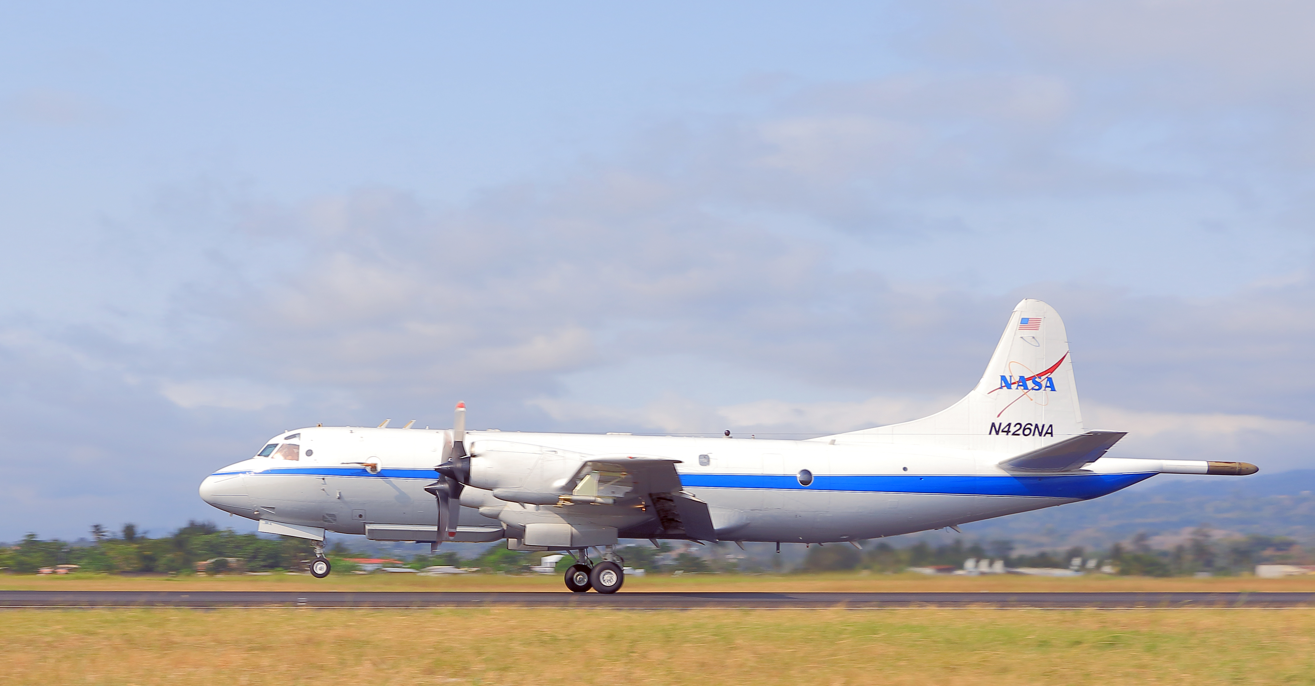
From June 17-26, researchers and students will fly multiple times each week over Baltimore and Philadelphia, as well as Norfolk, Hampton, Hopewell, and Richmond in Virginia. The flights will be conducted at an altitude of 1,000 feet using Dynamic Aviation’s King Air B200 aircraft. Additionally, a NASA P-3 aircraft based out of NASA’s Wallops Flight Facility in Virginia will collect different measurements over the same East Coast locations.
West Coast Flights
From June 29 to July 2, the same aircraft will conduct similar operations over Los Angeles, Imperial Valley, and Tulare Basin in California.
The research aircraft will fly at lower altitudes than commercial planes and perform various maneuvers, including vertical spirals from 1,000 to 10,000 feet. They will also circle over power plants, landfills, and urban areas. Occasionally, the aircraft will conduct “missed approaches” at local airports to collect samples close to the surface.
The instruments onboard the aircraft will collect data on greenhouse gases such as carbon dioxide and methane, as well as air pollutants like nitrogen dioxide, formaldehyde, and ozone. One of the main objectives of this campaign is to validate space-based measurements observed by the TEMPO (Tropospheric Emissions: Monitoring of Pollution) mission. Launched in April 2023, the TEMPO instrument provides hourly daytime measurements of air pollutants across the United States, northern Mexico, and southern Canada.
“The goal is that this data we collect will feed into policy decisions that affect air quality and climate in the region,” said Glenn Wolfe, a research scientist and the principal investigator for the campaign at NASA’s Goddard Space Flight Center in Greenbelt, Maryland.
The B-200 aircraft used in these flights is owned by Dynamics Aviation, an aircraft company contracted by NASA.
For more information about the Student Airborne Research Program, visit:
- https://science.nasa.gov/earth-science/early-career-opportunities/student-airborne-research-program/
By Tayler Gilmore
NASA’s Goddard Space Flight Center, Greenbelt, Maryland
Source: nasa.gov
![]()


