


The alternative route: Smart city strategies when pricing is no longer an option – Route Fifty
Urban Transportation Strategies for Achieving Sustainable Development Goals
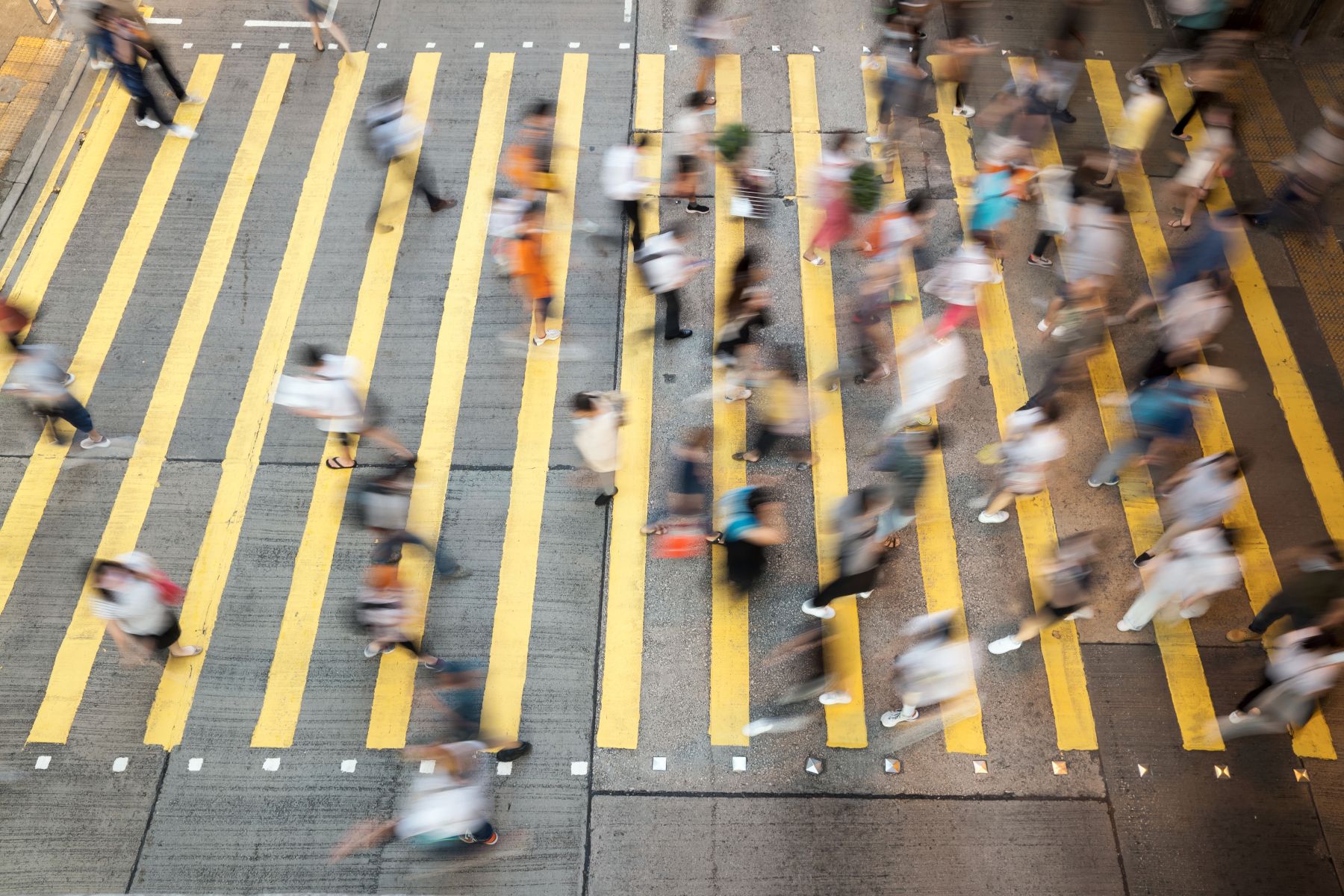
Cities worldwide face significant challenges in urban mobility, including traffic congestion, rising road fatalities, increased emissions, and persistent transportation inequities. These issues directly impede progress toward the Sustainable Development Goals (SDGs). While major policy interventions like congestion pricing offer a path forward, their implementation is not universally feasible. This report outlines immediately actionable strategies, leveraging policy and technology, that cities can adopt to advance key SDGs, particularly SDG 11 (Sustainable Cities and Communities), SDG 3 (Good Health and Well-being), SDG 9 (Industry, Innovation, and Infrastructure), SDG 10 (Reduced Inequalities), and SDG 13 (Climate Action).
Strategic Urban Asset Management for Sustainable Transport
Dynamic Curb Management: A Tool for SDG 11 and SDG 13
The urban curb is a critical but often mismanaged asset, with competing demands from rideshare services, delivery vehicles, and personal parking. Inefficient curb management contributes to traffic congestion, unsafe conditions for cyclists and pedestrians, and increased vehicle emissions, undermining SDG 11.2 (safe, accessible, and sustainable transport) and SDG 13 (Climate Action). By implementing dynamic curb management, cities can reclaim this space to achieve sustainability targets.
This approach uses data-driven strategies to optimize curb space allocation and pricing. Key methods include:
- Variable pricing to reflect real-time demand.
- Reserving zones for specific uses, such as commercial loading or rideshare pickups, at designated times.
- Daylighting intersections (keeping corners clear of parked cars) to improve visibility and safety, directly supporting SDG 3.6 (halve deaths and injuries from road traffic accidents).
The San Francisco Municipal Transportation Agency provides a model, using data analytics to guide dynamic curb policies and making this data available through open platforms to enhance system-wide efficiency.
Leveraging Data and Partnerships for Resilient Infrastructure
Cross-Sector Data Coordination: Advancing SDG 9 and SDG 17
Achieving sustainable urban transport systems necessitates strong partnerships between public and private sectors, a core principle of SDG 17 (Partnerships for the Goals). Public agencies manage infrastructure data, while private companies hold vast amounts of real-time behavioral data. Fusing these disparate data sources through interoperable platforms is an essential innovation for building resilient infrastructure, as targeted by SDG 9.
An integrated data approach empowers cities to:
- Optimize traffic flow and reduce congestion, contributing to SDG 11.6 (reduce the environmental impact of cities).
- Accelerate response to incidents and events, improving public safety (SDG 11.2).
- Enhance curb management by mapping demand across public and private parking inventories.
In Nashville, Tennessee, aggregated private parking data is being used to manage game-day demand and implement crowd dispersal strategies for a new stadium development, exemplifying an effective public-private partnership (SDG 17).
Modernizing Traffic Operations to Meet Climate and Safety Goals
Many cities rely on outdated traffic signal plans that are misaligned with current multimodal transportation needs, leading to unnecessary delays and emissions. Modernizing these systems using near real-time data allows for adaptive operations that directly support SDG 13 by reducing fuel consumption and emissions. The North Central Texas Council of Governments unites 169 agencies around shared signal performance metrics, demonstrating how regional collaboration (SDG 17) can enhance efficiency.
Furthermore, managing the “rules of the road” in real-time is critical for safety and coordination. Innovations built on the Open Mobility Foundation’s Mobility Data Specification (MDS) allow cities like Philadelphia to communicate road rule changes—such as construction zones or event closures—to navigation providers and the public. This application of technology and standards (SDG 9) ensures a safer and more coordinated use of the right-of-way, advancing SDG 11.2.
Promoting Equitable and Sustainable Mobility
Measuring Mode Shift to Ensure Progress on SDG 10 and SDG 11
Encouraging a shift from private vehicles to more sustainable modes of travel is fundamental to achieving SDG 11.2. However, a primary challenge is accurately measuring progress and ensuring these shifts are equitable. Data analysis is instrumental in crafting fair transportation policies that address SDG 10 (Reduced Inequalities). By analyzing travel patterns alongside socioeconomic data, cities can identify vulnerable populations and design targeted programs to prevent transport poverty.
These equity-focused solutions include:
- Income-based fare discounts for public transit.
- Enhanced transit services in underserved communities.
- Provision of alternative mobility options like shared micromobility.
Cities are already implementing these data-informed strategies. New York City uses connected vehicle data to inform equitable planning around new developments, while Denver has successfully expanded its micromobility program by analyzing trip data to meet user demand, thereby promoting low-emission transport options in line with SDG 11 and SDG 13.
Recommendations for Immediate Action to Advance the SDGs
Cities can take immediate steps to build safer, cleaner, and more equitable transportation systems without waiting for large-scale legislative changes. The following proven strategies align directly with the Sustainable Development Goals:
- Implement Dynamic Curb Management: Utilize data-driven pricing and allocation to prioritize curb space for efficient deliveries, safe rideshare operations, and pedestrian safety, directly supporting SDG 3.6 and SDG 11.2.
- Foster Cross-Sector Data Integration: Establish partnerships (SDG 17) to integrate public and private data streams. This innovation (SDG 9) is essential for optimizing traffic flow, modernizing signal timing, and enabling real-time road rule updates to reduce emissions (SDG 13).
- Pursue Equitable Mode Shift Strategies: Actively measure travel behavior to track progress toward sustainability goals and design targeted programs that support underserved communities (SDG 10) and promote low-emission mobility options (SDG 11).
Analysis of Sustainable Development Goals in the Article
1. Which SDGs are addressed or connected to the issues highlighted in the article?
- SDG 11: Sustainable Cities and Communities: This is the most central SDG, as the article directly discusses urban challenges like traffic congestion, emissions, and transportation systems. It focuses on making cities more livable, efficient, and sustainable.
- SDG 3: Good Health and Well-being: The article explicitly addresses public health by highlighting the “alarming rise in serious and fatal crashes” and proposing solutions to create “safer streets.”
- SDG 10: Reduced Inequalities: The article points to “persistent transportation inequities” and emphasizes the need for policies that serve “vulnerable populations” and “underserved communities,” promoting equitable access to transportation.
- SDG 13: Climate Action: By focusing on reducing “mounting emissions” from traffic, the article connects directly to climate change mitigation efforts at the city level.
2. What specific targets under those SDGs can be identified based on the article’s content?
- Target 11.2: Provide access to safe, affordable, accessible and sustainable transport systems for all. The article’s entire premise is about improving urban transportation. It discusses creating “safer streets,” addressing “transportation inequities,” and implementing “sustainable transportation systems.” The focus on “equitable mode shift strategies” and serving “vulnerable populations” directly aligns with this target.
- Target 11.6: Reduce the adverse per capita environmental impact of cities, including by paying special attention to air quality. The article identifies “mounting emissions” as a critical urban problem and proposes solutions like congestion pricing and signal timing optimization specifically to “reduce emissions,” which directly contributes to improving urban air quality and reducing the city’s environmental footprint.
- Target 3.6: By 2030, halve the number of global deaths and injuries from road traffic accidents. The article identifies the “alarming rise in serious and fatal crashes” as a key challenge. Solutions like “daylighting intersections for safety” and using data to create “safer, more coordinated use of the right-of-way” are aimed at reducing these incidents.
- Target 10.2: Empower and promote the social, economic and political inclusion of all. The article addresses this by highlighting “persistent transportation inequities.” It suggests using “socioeconomic data and transit accessibility” to “pinpoint vulnerable populations” and designing “targeted programs to protect these groups,” such as “income-based fare discounts,” ensuring that transportation solutions are fair and inclusive.
3. Are there any indicators mentioned or implied in the article that can be used to measure progress towards the identified targets?
- Number of serious and fatal crashes: This is a direct indicator mentioned in the article (“alarming rise in serious and fatal crashes”) that can be used to measure progress towards Target 3.6 on road safety.
- Level of emissions: The article explicitly mentions “mounting emissions” as a problem and “reduce emissions” as a goal, making this a clear indicator for measuring progress on Target 11.6.
- Mode shift data / Travel behavior patterns: The article discusses the importance of “actively managing and measuring mode shift” and analyzing “trip data” and “travel behavior.” This data serves as an indicator for Target 11.2, showing whether people are shifting to more sustainable transport options.
- Analysis of socioeconomic data against transit accessibility: The article implies this as a method for measurement by stating that cities can use “analysis of travel patterns, socioeconomic data and transit accessibility” to “pinpoint vulnerable populations most at risk of being underserved.” This serves as an indicator for progress on Target 10.2.
- Parking demand and inventory data: The article mentions that by collaborating with private operators, “cities can map parking demand and manage inventory across neighborhoods,” as seen in Nashville. This data can indicate the efficiency of curb management and traffic flow improvements.
4. Summary Table of SDGs, Targets, and Indicators
| SDGs | Targets | Indicators Identified in the Article |
|---|---|---|
| SDG 3: Good Health and Well-being | 3.6: Halve global deaths and injuries from road traffic accidents. | Number of “serious and fatal crashes.” |
| SDG 10: Reduced Inequalities | 10.2: Empower and promote the social, economic and political inclusion of all. | Analysis of “socioeconomic data and transit accessibility” to identify “underserved communities”; Implementation of programs like “income-based fare discounts.” |
| SDG 11: Sustainable Cities and Communities | 11.2: Provide access to safe, affordable, accessible and sustainable transport systems for all. | Measurement of “mode shift”; Analysis of “trip data” and “travel behavior.” |
| 11.6: Reduce the adverse per capita environmental impact of cities. | Level of “mounting emissions.” | |
| SDG 13: Climate Action | 13.2: Integrate climate change measures into national policies, strategies and planning. | Implementation of city-level policies (e.g., congestion pricing, signal optimization) to “reduce emissions.” |
Source: route-fifty.com

What is Your Reaction?
 Like
0
Like
0
 Dislike
0
Dislike
0
 Love
0
Love
0
 Funny
0
Funny
0
 Angry
0
Angry
0
 Sad
0
Sad
0
 Wow
0
Wow
0