-1920w.png?#)


Modeling and predicting land use and land cover changes using remote sensing in tropical coastal ecosystems of southern Peru – SpringerOpen


Report on Geospatial Analysis for Sustainable Development
This report synthesizes findings from extensive research on the application of geospatial technologies, remote sensing, and predictive modeling to monitor and manage environmental and social systems. The analysis underscores the critical role of these technologies in addressing the United Nations Sustainable Development Goals (SDGs), particularly concerning urban development, ecosystem conservation, and resource management.
Urban Expansion and its Impact on Sustainable Cities (SDG 11)
The rapid and often unplanned expansion of urban areas presents significant challenges to achieving SDG 11 (Sustainable Cities and Communities). Research demonstrates a clear trend of urban growth impacting surrounding ecosystems, a phenomenon that can be effectively monitored and predicted using advanced spatial models.
H3: Modeling and Predicting Urban Growth
Numerous studies utilize sophisticated models to simulate urban expansion and its consequences. These methodologies are crucial for sustainable urban planning.
- Cellular Automata (CA) and Markov Chain Models: These are frequently integrated to predict land use/land cover (LULC) changes, as seen in studies of Ahmedabad, India, and the north-western coastal desert of Egypt. This approach helps forecast the trajectory of urban sprawl, enabling proactive policy-making.
- Agent-Based Modeling (ABM): This technique models the behavior of individual actors (e.g., households, developers) to understand how their decisions collectively shape urban development, providing a bottom-up perspective on land-use change.
- Logistic Regression and Machine Learning: Models like Random Forest are used to identify the drivers of urban growth, such as proximity to roads and existing urban centers, offering insights for zoning and infrastructure planning in line with SDG 9 (Industry, Innovation, and Infrastructure).
H3: Consequences for Land and Food Security
Urban expansion directly threatens other SDGs by consuming valuable land resources.
- Loss of Agricultural Land: The conversion of agricultural and prairie lands to urban areas, as analyzed in various sub-watershed scale studies, directly undermines SDG 2 (Zero Hunger) by reducing food production capacity.
- Ecosystem Fragmentation: Urban growth leads to the fragmentation of natural habitats, which is a major threat to biodiversity and the achievement of SDG 15 (Life on Land).
Conservation of Coastal and Marine Ecosystems (SDG 14 & SDG 15)
Coastal zones are critical interfaces between terrestrial and marine systems, hosting immense biodiversity and providing essential ecosystem services. Their sustainable management is paramount for SDG 14 (Life Below Water) and SDG 15 (Life on Land).
H3: Monitoring Coastal and Marine Health
Remote sensing is an indispensable tool for monitoring the health of these fragile environments.
- Wetland and Mangrove Mapping: Satellite imagery is used to map and monitor coastal wetlands and mangroves, which serve as natural barriers to coastal risks and are vital for biodiversity. Their degradation compromises coastal protection and climate resilience (SDG 13: Climate Action).
- Marine Spatial Planning (MSP): The development of Marine Spatial Data Infrastructures (MSDI) is essential for integrated coastal zone management, helping to balance competing interests like fishing, tourism, and conservation.
- Case Study: Peru’s Marine Ecosystem: The highly productive Peruvian coast, particularly areas like Paracas Bay, supports a major fishery industry, contributing to SDG 8 (Decent Work and Economic Growth). However, it faces threats from anthropogenic stressors, including oil spills, which necessitates robust monitoring and response systems.
H3: Effectiveness of Marine Protected Areas (MPAs)
The establishment of MPAs, such as the Paracas National Reserve in Peru, is a key strategy for conservation. However, research highlights that their effectiveness is often challenged by illegal construction and external economic pressures, indicating a need for stronger governance and enforcement to meet SDG 14 targets.
Land Use Change, Deforestation, and Terrestrial Ecosystems (SDG 15)
Monitoring LULC change is fundamental to understanding the pressures on terrestrial ecosystems and achieving SDG 15 (Life on Land).
H3: Tracking Deforestation and Land Degradation
Cloud-based platforms like Google Earth Engine have revolutionized the ability to track environmental degradation over large areas and long time periods.
- Forest Cover Change: Multi-temporal satellite data (e.g., Landsat, Sentinel-2) are used to quantify deforestation and forest degradation in critical biomes like the Peruvian Amazon and the Sundarban Reserve Forest.
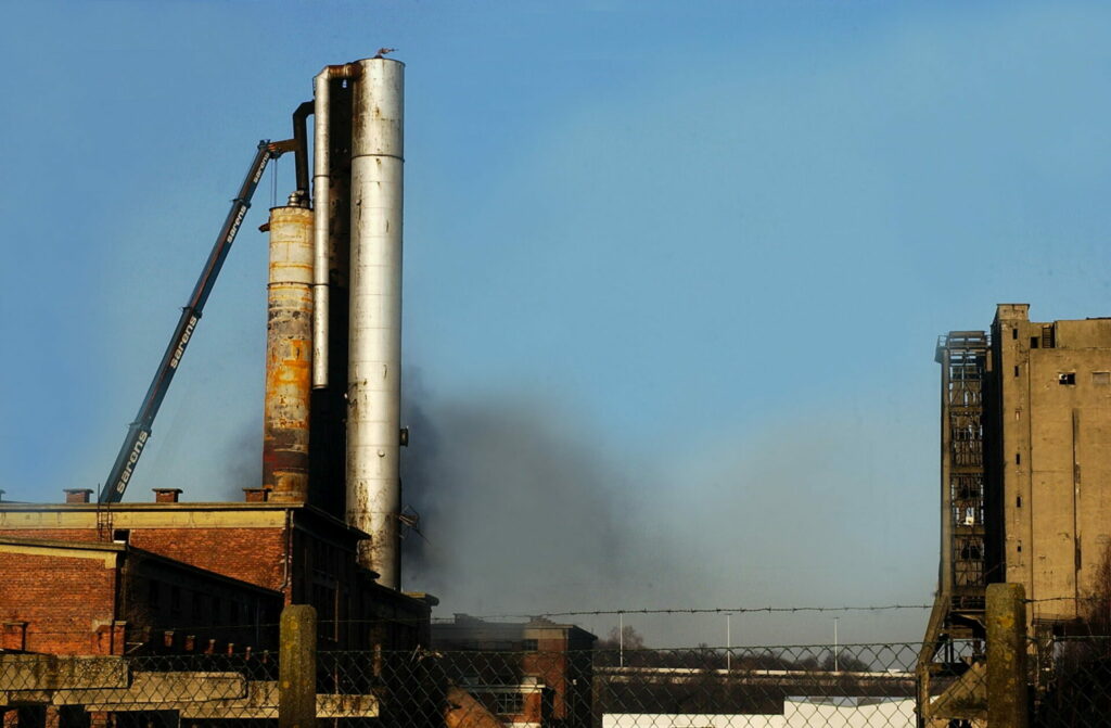
- Burned Area Analysis: Spatio-temporal analysis of burned areas helps in understanding fire dynamics and their impact on ecosystems, which is crucial for management strategies related to SDG 13 (Climate Action).
H3: Evaluating Protected Area Effectiveness
Studies consistently evaluate whether protected areas are successful in preventing deforestation. While many are effective, they face significant pressure from agricultural expansion and illegal mining, highlighting the conflict between conservation goals and economic development.
Resource Management, Social Conflict, and Governance (SDG 6 & SDG 16)
The management of natural resources is intrinsically linked to social stability and equitable development. Failures in governance can lead to environmental degradation and social unrest, undermining SDG 16 (Peace, Justice and Strong Institutions).
H3: Water Scarcity and Hydrosocial Conflict
The case of the Ica Valley in Peru exemplifies the challenges of water management (SDG 6: Clean Water and Sanitation).
- Agro-Export vs. Water Availability: The expansion of large-scale agro-export operations has led to severe water scarcity and the over-exploitation of aquifers.
- Social Conflicts: This scarcity has fueled numerous social conflicts between large agricultural corporations and small-scale local farmers, demonstrating the need for equitable water governance frameworks.
H3: Balancing Economic Development and Environmental Sustainability
Achieving a sustainable future requires reconciling economic activities with environmental protection.
- Mining Impacts: Open-pit mining is a significant driver of land use change and can lead to severe environmental degradation and social conflict if not managed responsibly.
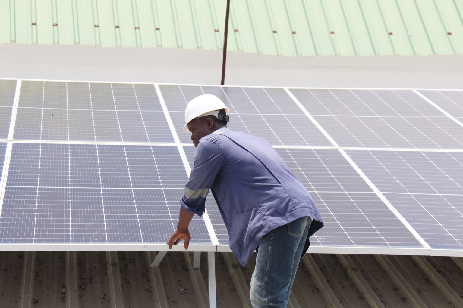
- Sustainable Tourism: While tourism can support local economies (SDG 8), its development in ecologically sensitive areas like Paracas requires careful planning to prevent negative impacts on biodiversity.
Conclusion: The Role of Geospatial Innovation for the SDGs
The body of research reviewed confirms that geospatial information management is no longer just a technical discipline but a cornerstone of sustainable development. The integration of remote sensing, GIS, and predictive modeling provides the evidence base needed for policymakers to navigate the complex trade-offs between economic development and environmental protection. Future trends point towards greater use of cloud computing and machine learning for planetary-scale analysis, fostering the partnerships and innovation required to achieve the Sustainable Development Goals (SDG 17: Partnerships for the Goals).
Analysis of Sustainable Development Goals (SDGs)
1. Which SDGs are addressed or connected to the issues highlighted in the article?
Based on the themes present in the article’s references, several Sustainable Development Goals (SDGs) are addressed. The references point to a study focused on urban expansion, land use change, and their environmental and social impacts in a coastal region of Peru (Ica/Paracas), utilizing geospatial technologies.
-
SDG 6: Clean Water and Sanitation
The article connects to this goal through its focus on the Ica river basin. References such as (27), (78), (79), and (81) explicitly mention the impact of population growth, land use change, and agro-export on water resources, including issues of water scarcity and governance in the Ica valley.
-
SDG 11: Sustainable Cities and Communities
This is a central theme, as numerous references focus on “urban growth modeling,” “urban expansion,” and “urbanization” (e.g., 3, 4, 5, 9, 22, 24, 57, 58). The study analyzes the dynamics of urban development and its consequences, directly relating to the goal of making cities sustainable.
-
SDG 14: Life Below Water
The article addresses this goal by examining the impacts on marine and coastal ecosystems. References to “The Marine Dimension,” “Paracas Bay,” “marine protected areas,” “fishery productivity,” and “oil spill” modeling (e.g., 1, 32, 34, 65, 66, 70, 90) indicate a strong connection to the conservation and sustainable use of marine resources.
-
SDG 15: Life on Land
This goal is relevant due to the analysis of “land use/land cover change,” “deforestation,” and the impact on terrestrial ecosystems. The study explicitly investigates changes in agricultural lands, wetlands, and protected areas like the Paracas National Reserve (a coastal desert ecosystem), as seen in references (13, 23, 29, 68, 73, 88).
-
SDG 17: Partnerships for the Goals
The article embodies this goal through its methodology. The extensive list of references on remote sensing, Google Earth Engine, Landsat, Sentinel-2, and geospatial modeling (e.g., 37, 39, 49, 58, 95) highlights the use of technology and data sharing to monitor and analyze environmental change, which is crucial for implementing and tracking progress on other SDGs.
2. What specific targets under those SDGs can be identified based on the article’s content?
The references imply a focus on several specific targets within the identified SDGs:
-
SDG 6: Clean Water and Sanitation
- Target 6.4: By 2030, substantially increase water-use efficiency across all sectors and ensure sustainable withdrawals and supply of freshwater to address water scarcity. This is supported by references discussing water scarcity and conflicts driven by agro-export in the Ica valley (25, 81).
- Target 6.5: By 2030, implement integrated water resources management at all levels. The focus on the Ica river basin and its management challenges (27, 79) directly relates to this target.
-
SDG 11: Sustainable Cities and Communities
- Target 11.3: By 2030, enhance inclusive and sustainable urbanization and capacity for… sustainable human settlement planning and management. The core of the study, analyzing and modeling urban expansion (4, 9, 57), aims to provide data for better planning, directly addressing this target.
- Target 11.4: Strengthen efforts to protect and safeguard the world’s cultural and natural heritage. This is evident from the focus on the Paracas National Reserve and the threat posed by illegal construction and other activities (66, 69).
-
SDG 14: Life Below Water
- Target 14.1: By 2025, prevent and significantly reduce marine pollution of all kinds, in particular from land-based activities. The mention of an oil spill modeling case study (70) and the general context of impacts from coastal development align with this target.
- Target 14.2: By 2020, sustainably manage and protect marine and coastal ecosystems to avoid significant adverse impacts. The study’s focus on the Paracas Bay area (32) and its ecosystems is a direct application of this target.
- Target 14.5: By 2020, conserve at least 10 per cent of coastal and marine areas. The analysis of a marine protected area, the Paracas National Reserve (66, 90), and its effectiveness (94) is central to this target.
-
SDG 15: Life on Land
- Target 15.1: By 2020, ensure the conservation, restoration and sustainable use of terrestrial and inland freshwater ecosystems and their services, in particular forests, wetlands… and drylands. The study analyzes land use change in coastal wetlands and drylands within the Ica region (29, 88).
- Target 15.3: By 2030, combat desertification, restore degraded land and soil… and strive to achieve a land degradation-neutral world. The analysis of land use change, particularly the conversion of agricultural or natural land to urban areas (23, 24), is a measure of land degradation.
- Target 15.5: Take urgent and significant action to reduce the degradation of natural habitats, halt the loss of biodiversity… and protect and prevent the extinction of threatened species. This is addressed through the assessment of impacts on protected areas (72, 73, 74) and their biodiversity (32, 71).
-
SDG 17: Partnerships for the Goals
- Target 17.18: By 2020, enhance capacity-building support to developing countries… to increase significantly the availability of high-quality, timely and reliable data disaggregated by… geographic location. The study’s use of advanced, publicly available satellite data (Landsat, Sentinel-2) and cloud computing platforms (Google Earth Engine) (39, 49, 58) directly contributes to this target by demonstrating capacity and generating such data for Peru.
3. Are there any indicators mentioned or implied in the article that can be used to measure progress towards the identified targets?
Yes, the methodologies and data types mentioned in the references serve as direct or proxy indicators for measuring progress.
-
Indicator 11.3.1: Ratio of land consumption rate to population growth rate.
The article’s methodology, which involves “urban growth modeling” (9, 14), analyzing “urban expansion” (22, 57), and using population data (28, 76), directly provides the components needed to calculate this indicator.
-
Indicator 14.5.1: Coverage of protected areas in relation to marine areas.
The study’s focus on the Paracas National Reserve (66), a designated marine protected area, and the analysis of land use change within its boundaries, uses the spatial extent of this reserve as a key data point, which is the basis for this indicator.
-
Indicator 15.1.1: Forest area as a proportion of total land area.
The numerous references to “land use/land cover change” analysis using remote sensing (e.g., 6, 13, 49, 59) inherently involve classifying and quantifying different land cover types, including forest, agricultural, and urban areas. The change in these proportions over time is a core output of the study.
-
Indicator 15.3.1: Proportion of land that is degraded over total land area.
The study’s “spatio-temporal analysis of urban expansion and land use dynamics” (58) and its investigation into the “loss of prairie and agricultural lands” (23) provide direct measurements of land conversion, which is a key proxy for land degradation.
-
Indicator for Target 17.18: Availability of timely and reliable data.
The entire study, by using and promoting technologies like “Google Earth Engine: planetary-scale geospatial analysis for everyone” (39) and multi-temporal satellite data (13, 38, 56), serves as a tangible example of increasing the availability and use of high-quality geospatial data for monitoring sustainable development, thus indicating progress on this capacity-building target.
4. Table of SDGs, Targets, and Indicators
| SDGs | Targets | Indicators |
|---|---|---|
| SDG 6: Clean Water and Sanitation | 6.4: Increase water-use efficiency and ensure sustainable withdrawals. 6.5: Implement integrated water resources management. |
Analysis of water demand from agro-export vs. availability; mapping of land use change in the Ica river basin. |
| SDG 11: Sustainable Cities and Communities | 11.3: Enhance sustainable urbanization and planning. 11.4: Protect the world’s natural heritage. |
11.3.1: Ratio of land consumption rate to population growth rate (calculated from urban expansion maps and population data). Monitoring land use change within and around the Paracas National Reserve. |
| SDG 14: Life Below Water | 14.1: Reduce marine pollution from land-based activities. 14.2: Protect marine and coastal ecosystems. 14.5: Conserve at least 10% of coastal and marine areas. |
Mapping of potential pollution sources (urban/industrial areas); analysis of ecosystem health in Paracas Bay. 14.5.1: Coverage of protected areas in relation to marine areas (spatial extent of Paracas National Reserve). |
| SDG 15: Life on Land | 15.1: Conserve terrestrial and inland freshwater ecosystems. 15.3: Combat desertification and restore degraded land. 15.5: Reduce degradation of natural habitats and halt biodiversity loss. |
15.1.1: Forest area as a proportion of total land area (derived from land cover classification maps). 15.3.1: Proportion of land that is degraded over total land area (measured by conversion of natural/agricultural land to urban areas). |
| SDG 17: Partnerships for the Goals | 17.18: Increase the availability of high-quality, timely, and reliable data. | Demonstrated use of cloud computing (Google Earth Engine) and multi-temporal satellite data (Landsat, Sentinel-2) for environmental monitoring. |
Source: enveurope.springeropen.com

What is Your Reaction?
 Like
0
Like
0
 Dislike
0
Dislike
0
 Love
0
Love
0
 Funny
0
Funny
0
 Angry
0
Angry
0
 Sad
0
Sad
0
 Wow
0
Wow
0