Study improves accuracy of planted forest locations in East Asia
Study improves accuracy of planted forest locations in East Asia Purdue University

Spatial database achieves high-resolution detail
An international team led by Purdue University scientists has created the first spatial database of planted forests in East Asia by combining data collected on-site and via satellite. Produced with the assistance of artificial intelligence, the database contains forest location maps at a resolution of one kilometer (six-tenths of a mile) and lists the most common tree species growing there, such as pine and eucalyptus.
Overview of Planted Forests in East Asia
- East Asia holds 36% of the world’s planted forests.
- Africa has 19%, Europe has 7%, and the United States has 9%.
- Within East Asia, 87.0% of planted forest is in China, followed by 11.1% in Japan, 1.0% in South Korea, and 0.9% in North Korea.
Previous maps of East Asia’s planted forests covered only parts of the region spanning China, Japan, North Korea, and South Korea. And the data sources for those maps are inconsistent and unverified.
Utilizing Artificial Intelligence for Data Analysis
The team used an AI approach to analyze a massive amount of data collected from both ground measurements and remote-sensing sources. This study contributes to the understanding of global forest ecosystems and their sustainable management, aligning with the Sustainable Development Goals (SDGs).
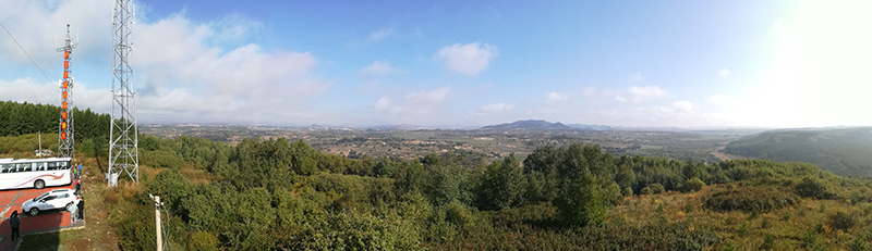
Panorama of a newly forested region in northeastern China. Before forestation efforts, a sandy desert blanketed the area. (Photo provided by Jingjing Liang)
A collaboration consisting of Purdue University scientists recently presented their results in the journal Scientific Data. The project collaborators are members of Science-i and the Global Forest Biodiversity Initiative (GFBI). Science-i is a web-based platform involving more than 300 scientists worldwide. GFBI has built a database of 1.3 million sample plots and 55 million trees.
“At Land & Carbon Lab, we believe what gets measured gets managed,” said study co-author Nancy Harris, research director of Land & Carbon Lab and Global Forest Watch at World Resources Institute. “Our partnership with Purdue and FAO embodies our mission to deploy breakthroughs in geospatial monitoring that power solutions for sustainable landscapes. Seeing where these different types of forests are on a map revolutionizes the options for interpretation and decision-making that go beyond simply knowing how much forest is in a country.”
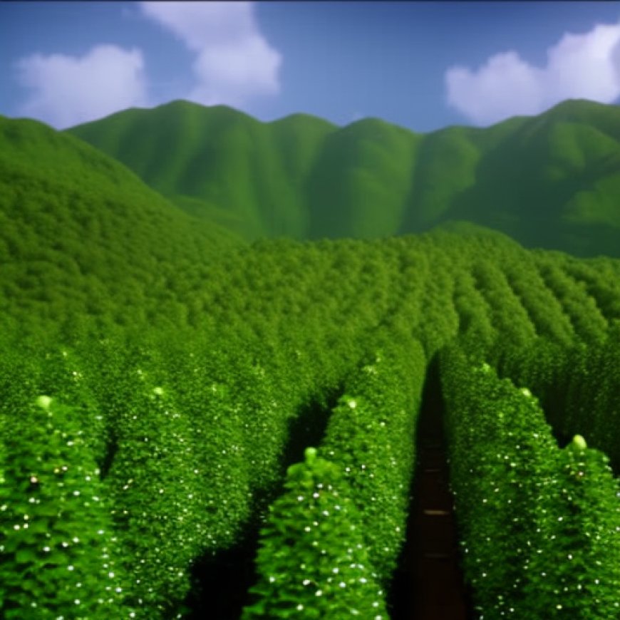
This newly planted forest in China is an example of afforestation — growing forest where there was none before. (Photo provided by Jingjing Liang)
Integration of Data Sources and AI Analysis
The researchers integrated data collected on-site, by satellite, and through an approach called “ensemble machine learning.” This method entailed using AI to train three different machine learning models. The team used the Bell Community Cluster at Purdue’s Rosen Center for Advanced Computing to process and analyze the massive amount of data involved in the project.
“When I say I study forest ecology, people assume that I go to the forest, measure something, then come back and analyze the data,” said lead author Akane Abbasi. “But this is not what we’re doing here. We deal with very large spatial extents, and we study nature using cutting-edge AI and machine learning.”
Implications and Future Collaboration
The results confirm previous data shown by the FAO’s Global Forest Resource Assessment (FRA). However, this study provides spatial locations of forest plantations at small resolutions, something that FRA cannot show. The collaboration between Purdue, FAO, and World Resources Institute aims to expand the use of artificial intelligence to obtain ecozone-based estimates of forest growth across the globe.
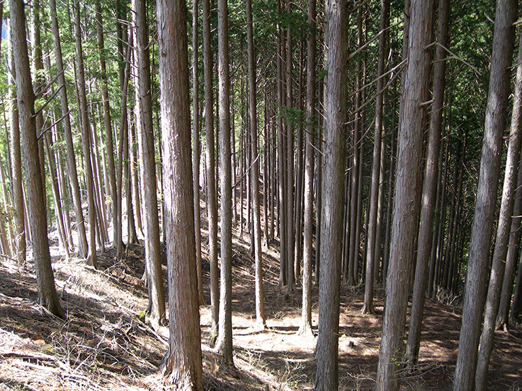
A planted forest in Japan consisting of Japanese cedar or hinoki cypress or both. Planted forests like this one tend to include one or only a few species. Natural forests tend to have more species and more trees of different ages. (Photo provided by PhotoAC)
Significance of Planted Forests in East Asia
China has planted more forest in recent decades than any other nation, covering an area greater than the square mileage of the states of Texas and New York combined. Japan and South Korea also have significant areas of planted forests, which were established several decades ago.
Sandstorms regularly pelt Beijing, which stands less than 60 miles from the nearest desert. This has led the Chinese government to begin planting trees on sand dunes, a costly and labor-intensive process. Learning from China’s afforestation efforts can contribute to global reforestation and combat deforestation.
This work received funding from the World Resources Institute and Purdue’s Department of Forestry and Natural Resources.
Conclusion
The creation of the spatial database of planted forests in East Asia using AI and satellite data represents a significant advancement in understanding global forest ecosystems and their sustainable management. The database provides valuable information about forest locations and the most common tree species growing in the region. This knowledge can support efforts to achieve the Sustainable Development Goals (SDGs) related to responsible forest management, biodiversity conservation, and combating climate change.
Writer: Steve Koppes
Media contact: Maureen Manier, mmanier@purdue.edu
Sources: Jingjing Liang, purdue.edu
![]()
Join us, as fellow seekers of change, on a transformative journey at https://sdgtalks.ai/welcome, where you can become a member and actively contribute to shaping a brighter future.


