


;Resize=620#)


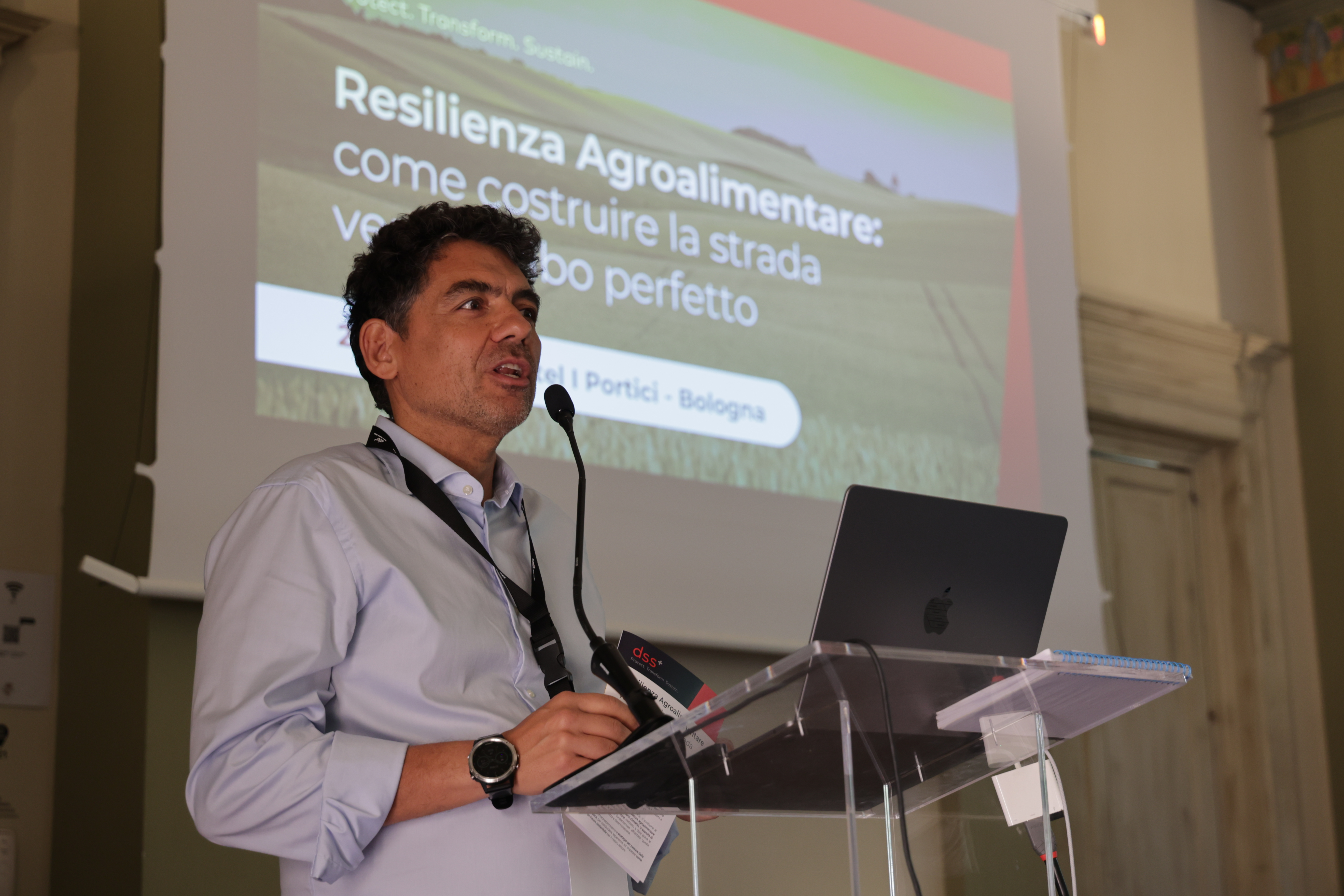
CAMPBELL: Basics of remote sensing in precision agriculture – Hays Post

Report on the Application of Remote Sensing in Agriculture for Sustainable Development
Remote sensing technology, the practice of acquiring information about an object or phenomenon without making physical contact, has become an indispensable tool in modern precision agriculture. By leveraging data from satellites, drones, and ground-based sensors, agricultural practices can be optimized to enhance productivity and environmental stewardship. This report outlines the applications and modalities of remote sensing in agriculture, with a significant emphasis on their contribution to achieving the United Nations Sustainable Development Goals (SDGs).
Core Applications and Alignment with Sustainable Development Goals
Remote sensing provides critical data for informed decision-making, directly supporting several key SDGs by promoting resource efficiency, food security, and environmental protection.
Understanding and Managing Field Variability
Remote sensing technologies create detailed maps illustrating variations in crop health, soil type, and moisture levels across a field. As demonstrated by drone imagery from the Flickner Innovation farm, these maps distinguish between healthy, high-canopy areas (green), moderately vigorous crops (yellow), and areas with poor growth or bare soil (red). This granular insight enables precision management, which is fundamental to sustainable agriculture.
- SDG 2 (Zero Hunger): By identifying underperforming areas, farmers can apply targeted interventions to improve crop growth and maximize yields, enhancing food security.
- SDG 12 (Responsible Consumption and Production): This data facilitates variable-rate application of inputs like fertilizer and water, ensuring resources are used only where needed. This minimizes waste and reduces the environmental footprint of farming operations.
- SDG 15 (Life on Land): Optimized fertilizer use prevents nutrient runoff, protecting terrestrial ecosystems and soil health from chemical degradation.
Early Detection of Crop Stress
Sensors can detect early signs of crop stress from nutrient deficiencies, water issues, diseases, or pests before they are visible to the human eye. This capability allows for timely and targeted responses, preventing widespread crop damage and loss.
- SDG 2 (Zero Hunger): Proactive stress management safeguards crop yields, contributing to a stable and reliable food supply.
- SDG 6 (Clean Water and Sanitation): By identifying moisture stress, remote sensing guides precise irrigation, conserving water resources and preventing overuse.
- SDG 12 (Responsible Consumption and Production): Site-specific application of nitrogen or pesticides, guided by stress detection maps, reduces overall chemical usage, promoting sustainable production patterns.
Precision Weed Identification
High-resolution imagery, particularly from drones, can differentiate weeds from crops based on color, structure, and growth patterns. This allows for the creation of precise weed maps for targeted herbicide application.
- SDG 12 (Responsible Consumption and Production): Applying herbicides only to affected areas significantly reduces chemical consumption, lowering costs and environmental impact.
- SDG 15 (Life on Land): Reduced herbicide use minimizes harm to non-target plants, soil microorganisms, and local biodiversity, supporting the health of terrestrial ecosystems.
Remote Sensing Modalities and Their Role in Sustainability
Different remote sensing platforms offer unique advantages for advancing sustainable agricultural practices.
-
Satellites
Satellites provide large-scale imagery capable of monitoring entire regions. The availability of free datasets, such as those from Sentinel-2 and Landsat, democratizes access to valuable agricultural data. This supports widespread adoption of sustainable practices and contributes to large-scale monitoring of agricultural landscapes in line with SDG 2 and SDG 13 (Climate Action) by tracking land use change and carbon sequestration potential.
-
Drones (Unmanned Aerial Vehicles)
Drones offer unparalleled flexibility and high-resolution data capture at the centimeter level. Their primary use in early-season scouting and stress detection makes them a powerful tool for implementing the precision techniques that underpin SDG 12, enabling hyper-local and responsible resource management.
-
Handheld and Equipment-Mounted Sensors
Devices like GreenSeeker and chlorophyll meters provide immediate, on-the-ground data about crop and soil health. When mounted on farm equipment, they allow for real-time adjustments in the application of inputs, directly contributing to the resource efficiency goals of SDG 12 and the yield optimization targets of SDG 2.
Conclusion: A Technological Pathway to Sustainable Agriculture
Remote sensing technology is a critical enabler for the transition to a more sustainable and productive agricultural system. By providing farmers with the ability to make data-driven, precise, and timely decisions, it directly supports the achievement of multiple Sustainable Development Goals. This technology transforms farm management by making the invisible visible, fostering practices that enhance food security (SDG 2), promote responsible production (SDG 12), and protect vital water and land ecosystems (SDG 6 and SDG 15).
Analysis of Sustainable Development Goals in the Article
1. Which SDGs are addressed or connected to the issues highlighted in the article?
- SDG 2: Zero Hunger – The article focuses on improving agricultural productivity and sustainability through technology.
- SDG 6: Clean Water and Sanitation – It discusses managing water stress and optimizing irrigation, which relates to water-use efficiency.
- SDG 9: Industry, Innovation, and Infrastructure – The core of the article is about the application of innovative technologies (remote sensing, drones, satellites) in agriculture.
- SDG 12: Responsible Consumption and Production – The text emphasizes the efficient use of resources like nitrogen, water, and pesticides through site-specific applications.
2. What specific targets under those SDGs can be identified based on the article’s content?
-
SDG 2: Zero Hunger
- Target 2.4: By 2030, ensure sustainable food production systems and implement resilient agricultural practices that increase productivity and production, that help maintain ecosystems, that strengthen capacity for adaptation to climate change, extreme weather, drought, flooding and other disasters and that progressively improve land and soil quality.
Explanation: The article describes how remote sensing helps understand field variability, detect crop stress, and manage pests and weeds, all of which contribute to more resilient and productive agricultural systems. By creating maps of crop health and soil conditions, farmers can implement practices that improve soil quality and ensure sustainability.
- Target 2.4: By 2030, ensure sustainable food production systems and implement resilient agricultural practices that increase productivity and production, that help maintain ecosystems, that strengthen capacity for adaptation to climate change, extreme weather, drought, flooding and other disasters and that progressively improve land and soil quality.
-
SDG 6: Clean Water and Sanitation
- Target 6.4: By 2030, substantially increase water-use efficiency across all sectors and ensure sustainable withdrawals and supply of freshwater to address water scarcity.
Explanation: The article explicitly mentions that remote sensing can identify “water stress” and guide “site-specific… irrigation.” This directly addresses the goal of increasing water-use efficiency by applying water only where and when it is needed, reducing waste.
- Target 6.4: By 2030, substantially increase water-use efficiency across all sectors and ensure sustainable withdrawals and supply of freshwater to address water scarcity.
-
SDG 9: Industry, Innovation, and Infrastructure
- Target 9.4: By 2030, upgrade infrastructure and retrofit industries to make them sustainable, with increased resource-use efficiency and greater adoption of clean and environmentally sound technologies and industrial processes.
Explanation: The article is centered on the adoption of modern, environmentally sound technologies like drones, satellites, and handheld sensors in the agricultural industry. This technology leads to increased resource-use efficiency for inputs like fertilizer and water.
- Target 9.4: By 2030, upgrade infrastructure and retrofit industries to make them sustainable, with increased resource-use efficiency and greater adoption of clean and environmentally sound technologies and industrial processes.
-
SDG 12: Responsible Consumption and Production
- Target 12.2: By 2030, achieve the sustainable management and efficient use of natural resources.
Explanation: The technology allows for “site-specific nitrogen, irrigation, or pesticide applications by applying inputs only in the areas where it is needed.” This is a clear example of promoting the efficient use of natural resources (water, soil nutrients) and chemical inputs, reducing waste and environmental impact.
- Target 12.2: By 2030, achieve the sustainable management and efficient use of natural resources.
3. Are there any indicators mentioned or implied in the article that can be used to measure progress towards the identified targets?
-
For SDG 2 (Target 2.4)
- Indicator: Crop health and growth variability maps (e.g., NDVI).
Explanation: The article explicitly mentions and shows an example (Figure 2) of using NDVI (Normalized Difference Vegetation Index) derived from drone imagery to map crop growth variability. These maps serve as a direct indicator of crop health and field productivity, allowing for measurement of improvements in agricultural practices.
- Indicator: Crop health and growth variability maps (e.g., NDVI).
-
For SDG 6 & 12 (Targets 6.4 & 12.2)
- Indicator: Volume of inputs (water, nitrogen, pesticides, herbicides) applied per unit of land.
Explanation: The article implies that progress can be measured by a reduction in the overall use of inputs. By enabling “site-specific” application, the technology’s effectiveness can be gauged by tracking the decrease in the total volume of water, fertilizer, and pesticides used, thus measuring an increase in resource efficiency.
- Indicator: Volume of inputs (water, nitrogen, pesticides, herbicides) applied per unit of land.
-
For SDG 9 (Target 9.4)
- Indicator: Adoption rate of remote sensing technologies by farmers.
Explanation: The article’s conclusion states that remote sensing “has become very popular and is accessible to farmers.” An indicator of progress towards this target would be the proportion of farms or agricultural land area where technologies like drones, satellite imagery, and handheld sensors are actively used for decision-making.
- Indicator: Adoption rate of remote sensing technologies by farmers.
Summary Table of SDGs, Targets, and Indicators
| SDGs | Targets | Indicators |
|---|---|---|
| SDG 2: Zero Hunger | 2.4: Ensure sustainable food production systems and implement resilient agricultural practices. | Crop health and growth variability maps (e.g., NDVI derived from drone imagery). |
| SDG 6: Clean Water and Sanitation | 6.4: Substantially increase water-use efficiency across all sectors. | Reduced volume of water applied per unit of land through site-specific irrigation. |
| SDG 9: Industry, Innovation, and Infrastructure | 9.4: Upgrade infrastructure and retrofit industries for sustainability and resource-use efficiency through technology adoption. | Adoption rate of remote sensing technologies (drones, satellites, handheld sensors) by farmers. |
| SDG 12: Responsible Consumption and Production | 12.2: Achieve the sustainable management and efficient use of natural resources. | Reduced volume of inputs (nitrogen, pesticides, herbicides) applied per unit of land. |
Source: hayspost.com

What is Your Reaction?
 Like
0
Like
0
 Dislike
0
Dislike
0
 Love
0
Love
0
 Funny
0
Funny
0
 Angry
0
Angry
0
 Sad
0
Sad
0
 Wow
0
Wow
0