


Council hears contentious update to critical‑areas rules; staff proposes riparian management zone to boost habitat and water quality – Citizen Portal AI
Report on Kirkland’s Critical-Areas Ordinance Update and Alignment with Sustainable Development Goals
Introduction
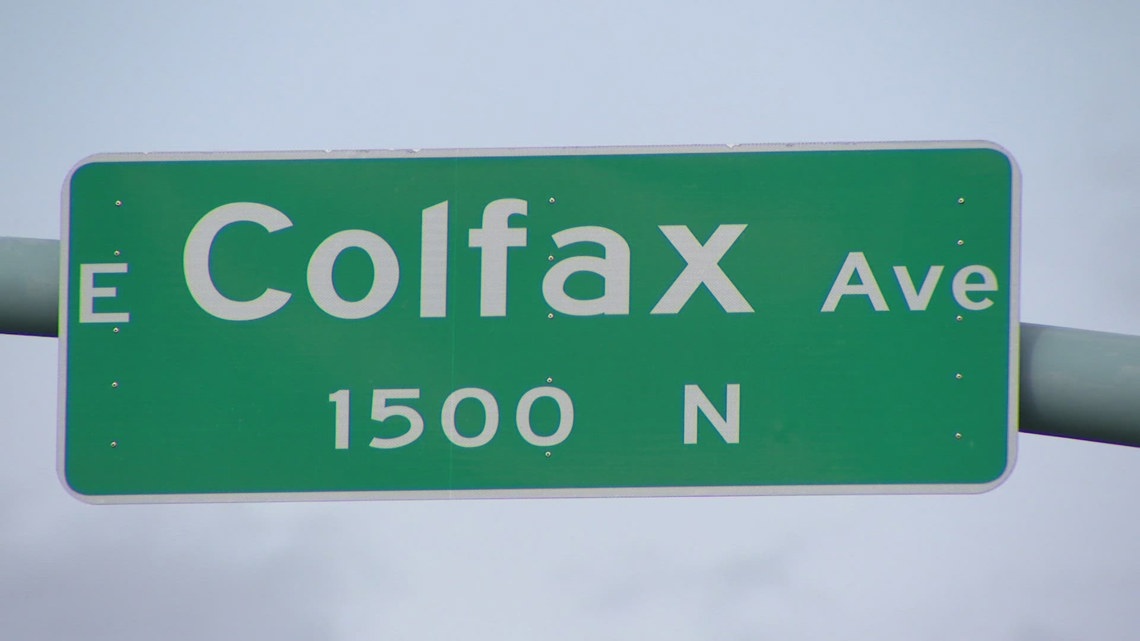
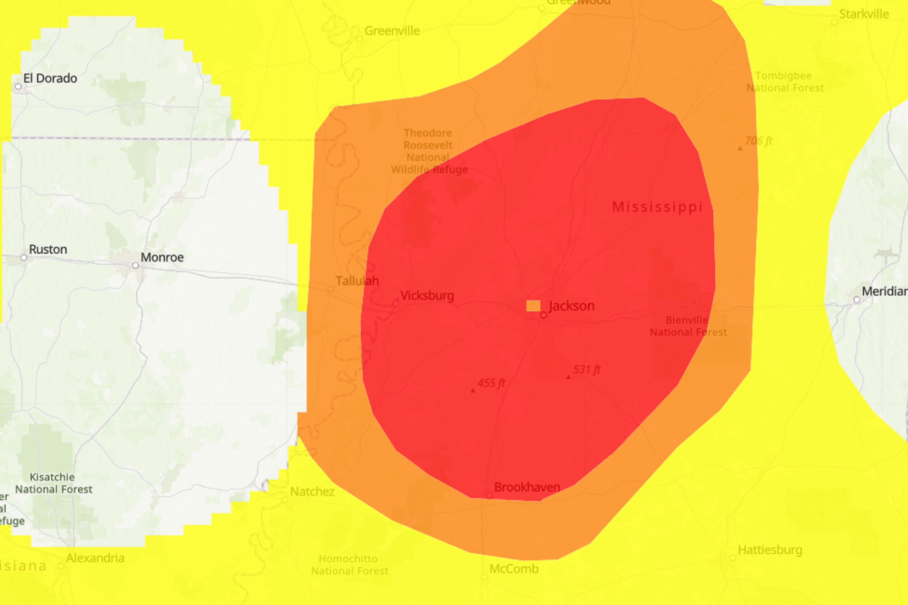
On November 5, planning staff for the City of Kirkland presented significant updates to the municipal critical-areas ordinance, specifically Chapters 85 and 90. The proposed revisions focus on enhancing the protection of streams and wetlands, directly contributing to the city’s commitment to the United Nations Sustainable Development Goals (SDGs). The central proposal involves a Riparian Management Zone (RMZ) model designed to advance environmental stewardship while mitigating immediate impacts on property owners, reflecting a balanced approach to sustainable urban development.
Proposed Ordinance Revisions
The planning staff presented two primary options for updating stream and wetland buffers under Chapter 90, alongside minor revisions to the landslide hazard code in Chapter 85.
- Option 1: Prescribed Buffer Expansion
This option involves a straightforward expansion to a larger, single numeric buffer for streams and wetlands. This approach aligns with recommendations from some tribal governments and the Washington Department of Fish and Wildlife (WDFW), which cited a 100-foot minimum buffer as a scientific standard for protecting water resources.
- Option 2: Riparian Management Zone (RMZ) Model
This alternative combines a nominally larger inner buffer with an outer RMZ. The outer zone would mandate specific tree conservation and habitat restoration measures. This model is designed to achieve measurable ecological improvements more rapidly by integrating low-impact development requirements and clear monitoring expectations, thereby accelerating progress toward key environmental SDGs.
Revisions to the landslide hazard code (Chapter 85) include adding a minimum slope height to refine the hazard footprint, creating exemptions for low-risk work, and consolidating tree-management language.
Alignment with Sustainable Development Goals
The proposed ordinance updates are fundamentally linked to achieving several key SDGs by integrating environmental protection with sustainable urban planning.
- SDG 6: Clean Water and Sanitation
Both proposed options directly support Target 6.6, which calls for the protection and restoration of water-related ecosystems. By strengthening buffers around streams and wetlands, the ordinance aims to improve water quality, a core objective of SDG 6.
- SDG 15: Life on Land
The emphasis on protecting riparian habitats, conserving tree canopies, and restoring ecological functions is a direct contribution to Target 15.1, which focuses on the conservation and sustainable use of terrestrial and inland freshwater ecosystems. The RMZ model, in particular, promotes active restoration, advancing the goal of halting biodiversity loss.
- SDG 11: Sustainable Cities and Communities
The debate between a blunt buffer expansion and the more nuanced RMZ model reflects the central challenge of Target 11.3: to make urbanization more inclusive and sustainable. The RMZ is presented as a tool to enhance ecological resilience within the urban fabric while reducing the number of properties rendered nonconforming, thus balancing environmental goals with sustainable and equitable property development.
- SDG 17: Partnerships for the Goals
The process necessitates close coordination with tribal nations and state agencies like WDFW. This multi-stakeholder collaboration is essential for effective policy implementation and embodies the spirit of SDG 17, which promotes partnerships for sustainable development.
Council Deliberations and Impact Analysis
Council members evaluated the proposals based on their effectiveness in achieving ecological benefits while considering the socio-economic impacts, a critical component of sustainable policy-making.
- Property Impact: Staff reported the RMZ model would bring approximately 1,300 properties into a regulated zone, while the straightforward buffer expansion would affect nearly 1,000 additional parcels, making them legally nonconforming.
- Ecological Timelines: Staff argued that the RMZ model would produce measurable water-quality improvements and habitat gains more quickly than a simple buffer expansion, as the latter often relies on redevelopment triggers that may take years to occur.
- Economic Considerations: The Council requested further modeling of costs and timelines for property owners to better understand the economic dimension of the environmental regulations.
Conclusion and Next Steps
The ordinance update is a mandatory periodic action under the state Growth Management Act, compelling the city to integrate the best available science into its land use codes to foster sustainable development. Staff will now refine the code language based on Council feedback. The ongoing process underscores the city’s commitment to balancing environmental protection, property rights, and long-term community resilience in alignment with global sustainability frameworks. Continued coordination with tribal and state partners will be critical to ensuring the final ordinance is both scientifically sound and effectively implemented.
1. Which SDGs are addressed or connected to the issues highlighted in the article?
SDG 6: Clean Water and Sanitation
- The article’s central theme is the update to Kirkland’s critical-areas ordinance to “increase protection for water quality” in streams and wetlands. This directly aligns with the goal of ensuring the availability and sustainable management of water.
SDG 11: Sustainable Cities and Communities
- The discussion revolves around a city planning initiative (“Kirkland planning staff presented major updates”) that balances ecological protection with urban development (“impacts on private property owners,” “redevelopment or larger alterations”). This process is a “required periodic action under the state Growth Management Act,” which is a core component of sustainable urban planning and land-use management.
SDG 14: Life Below Water
- By implementing measures like stream and wetland buffers, the city aims to protect water quality at its source. This prevents land-based pollution from properties adjacent to these water bodies from flowing downstream and ultimately impacting larger bodies of water and marine ecosystems.
SDG 15: Life on Land
- The ordinance updates are explicitly designed to protect “habitat” and “restore riparian conditions.” The proposed Riparian Management Zone (RMZ) includes “added tree-conservation and restoration measures,” directly addressing the protection and restoration of terrestrial and inland freshwater ecosystems.
2. What specific targets under those SDGs can be identified based on the article’s content?
- Target 6.6: By 2020, protect and restore water-related ecosystems, including mountains, forests, wetlands, rivers, aquifers and lakes.
- The entire article is about the city’s effort to update its ordinance to better protect and restore stream and wetland ecosystems through the use of buffers and a Riparian Management Zone (RMZ). The goal is to “produce ecological gains” and “restore riparian conditions.”
- Target 11.3: By 2030, enhance inclusive and sustainable urbanization and capacity for participatory, integrated and sustainable human settlement planning and management in all countries.
- The article describes the process of a municipal government updating its land-use regulations (critical-areas ordinance) as required by the state’s Growth Management Act. This is a direct example of integrated and sustainable settlement planning that attempts to balance environmental needs with property rights and development.
- Target 14.1: By 2025, prevent and significantly reduce marine pollution of all kinds, in particular from land-based activities, including marine debris and nutrient pollution.
- The proposed stream and wetland buffers are a direct measure to control pollution from land-based activities (development on adjacent private properties). By protecting water quality in these initial streams, the ordinance helps reduce pollution that would otherwise flow into larger water systems and eventually the sea.
- Target 15.1: By 2030, ensure the conservation, restoration and sustainable use of terrestrial and inland freshwater ecosystems and their services, in particular forests, wetlands, mountains and drylands, in line with obligations under international agreements.
- The article details plans to protect “habitat” associated with streams and wetlands. The proposed RMZ alternative specifically includes “tree-conservation and restoration measures” and aims to “encourage on-site tree canopy,” which are actions for the conservation and restoration of inland freshwater ecosystems.
3. Are there any indicators mentioned or implied in the article that can be used to measure progress towards the identified targets?
Yes, the article mentions and implies several indicators:
- Measurable Water Quality Changes: The article explicitly states that the RMZ alternative is designed to “produce measurable water-quality changes faster than a purely numeric expansion.” This is a direct indicator for progress on water protection (SDG 6, SDG 14).
- Area of Protected Ecosystems: The article implies this indicator by quantifying the number of properties affected by the new regulations. It notes the RMZ “would add roughly 1,300 properties into a regulated zone” and the buffer expansion would affect “almost 1,000 additional parcels.” This data can be used to measure the extent of land/ecosystems brought under new protection (SDG 6, SDG 15).
- Tree Canopy and Retention: The RMZ model aims to create ecological improvements through “strengthened tree retention and replanting rules” and is “designed to encourage on-site tree canopy.” The extent of tree canopy and the rate of tree retention can be monitored as indicators of habitat quality and restoration success (SDG 15).
- Implementation of Sustainable Urban Planning Policies: The entire process described—the city updating its critical-areas ordinance as a “required periodic action under the state Growth Management Act”—serves as an indicator of a functioning framework for sustainable land-use planning (SDG 11).
4. Create a table with three columns titled ‘SDGs, Targets and Indicators” to present the findings from analyzing the article. In this table, list the Sustainable Development Goals (SDGs), their corresponding targets, and the specific indicators identified in the article.
| SDGs | Targets | Indicators |
|---|---|---|
| SDG 6: Clean Water and Sanitation | 6.6: Protect and restore water-related ecosystems. |
|
| SDG 11: Sustainable Cities and Communities | 11.3: Enhance inclusive and sustainable urbanization and planning. |
|
| SDG 14: Life Below Water | 14.1: Prevent and reduce marine pollution from land-based activities. |
|
| SDG 15: Life on Land | 15.1: Ensure the conservation and restoration of terrestrial and inland freshwater ecosystems. |
|
Source: citizenportal.ai
What is Your Reaction?
 Like
0
Like
0
 Dislike
0
Dislike
0
 Love
0
Love
0
 Funny
0
Funny
0
 Angry
0
Angry
0
 Sad
0
Sad
0
 Wow
0
Wow
0