


Pender County adopts 2050 Comprehensive Land Use Plan with Planning Board edits – Citizen Portal AI

Report on the Adoption of Pender County’s 2050 Comprehensive Land Use Plan
Executive Summary
On November 3, the Pender County Board of Commissioners formally adopted the 2050 Comprehensive Land Use Plan. This non-regulatory framework is designed to guide development and conservation efforts over the next several decades, aligning local planning with global sustainability principles. The plan integrates key tenets of the United Nations Sustainable Development Goals (SDGs), particularly those concerning sustainable communities, environmental protection, and economic resilience. Following its adoption, the plan will be submitted for state-level certification as required for a Coastal Area Management Act (CAMA) county, reinforcing its commitment to coastal ecosystem management (SDG 14).
Plan Overview and Alignment with Sustainable Development Goals (SDGs)
Core Vision and Guiding Principles
The plan is structured around three primary vision themes that directly correspond to several SDGs:
- Coordinate Growth and Conservation: This theme balances urban development with environmental preservation, directly addressing SDG 11 (Sustainable Cities and Communities) and SDG 15 (Life on Land) by planning for growth while protecting natural and agricultural resources.
- Support the County’s Fiscal Health: By guiding infrastructure investment and commercial development, the plan aims to foster sustainable economic growth and fiscal resilience, contributing to SDG 8 (Decent Work and Economic Growth) and SDG 9 (Industry, Innovation and Infrastructure).
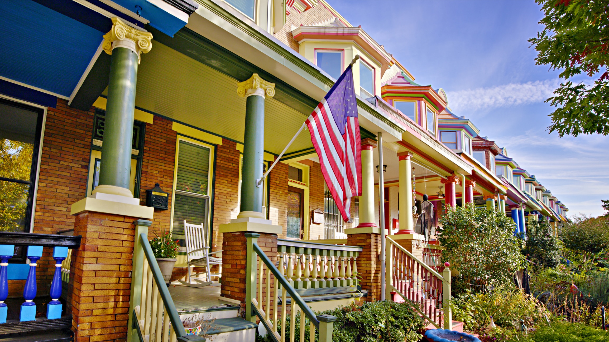
- Maintain a High Quality of Life: This principle focuses on creating inclusive, safe, and resilient communities, a core tenet of SDG 11, by ensuring that development enhances the well-being of all residents.
Strategic Framework
The vision is operationalized through a detailed, multi-layered structure designed for effective implementation:
- Nine High-Level Goals: These goals translate the vision themes into specific areas of focus.
- Thirty-One Supporting Policies: Each goal is supported by policies that provide clear direction for decision-making.
- One Hundred Fourteen Implementation Actions: These are specific, actionable steps prioritized by time horizon (1-2 years, 3-5 years) to ensure progress toward the plan’s objectives and associated SDGs.
Key Components Supporting SDG Implementation
SDG 11 (Sustainable Cities and Communities) & SDG 15 (Life on Land): Future Land Use and Conservation
A central component of the plan is the Future Land Use Map, which establishes a strategic framework for sustainable development. Key features include:
- Designated Place Types: The map identifies distinct areas for residential neighborhoods, industry/commerce, and coastal neighborhoods, promoting organized and efficient land use.
- Urban-Rural Growth Boundary: A growth boundary near NC 210 is established to direct medium-density development toward southern Pender County. This strategy supports SDG 11.a by strengthening links between urban and rural areas while simultaneously advancing SDG 15 by preserving vital rural agricultural land in the northern part of the county.
- Responsive Planning: The map was refined based on community feedback, including altered designations around Penderlea and expanded residential areas near the 421 corridor to align with planned infrastructure investments.
SDG 6 (Clean Water and Sanitation) & SDG 14 (Life Below Water): Environmental Management and Coastal Protection
The plan incorporates policies aimed at protecting water resources and coastal ecosystems, reflecting the county’s environmental responsibilities.
- Water Infrastructure Policy: The plan modifies its stance on package treatment plants from blanket discouragement to a nuanced “discouraged unless” approach. This ensures that any such systems are consistent with the future land use map, promoting responsible water management in line with SDG 6.
- Coastal Area Management Act (CAMA) Certification: The plan’s submission to the Division of Coastal Management for certification is a critical step. This process ensures local land use planning aligns with state-level mandates for protecting coastal resources, directly supporting the objectives of SDG 14 (Life Below Water).
- Stormwater Management: Public concerns regarding stormwater were noted during hearings, indicating a community focus on water quality and resilience that aligns with SDG 6.
Stakeholder Engagement and Governance
SDG 11.3 & SDG 17 (Partnerships for the Goals): Public Participation and Collaborative Process
The plan’s development was rooted in a commitment to inclusive and participatory planning, a cornerstone of SDG 11.3 and SDG 17.
- Extensive Public Engagement: The 20-month process included two rounds of countywide public engagement.
- Community Feedback Integration: Over 1,400 survey responses and multiple in-person meetings provided critical data and local perspectives that directly shaped the final document.
- Inter-Agency Collaboration: The process involves ongoing work with state agencies like the North Carolina Department of Transportation (NCDOT) on infrastructure, demonstrating a multi-stakeholder partnership approach.
Regulatory and Procedural Framework
The plan functions as an advisory document that will guide future regulatory actions. Its adoption by voice vote, incorporating edits from the Planning Board, marks a key milestone. While not immediately altering zoning, it establishes a legal requirement for the Board of Commissioners to consider the plan in all future zoning and land-use decisions. The plan also acknowledges the influence of state-level legislation, such as Senate Bill 382, on local zoning authority.
Implementation and Forward Strategy
Phased Action Plan
The next phase involves prioritizing the plan’s 114 implementation actions. These actions are categorized into short-term (1-2 years) and medium-term (3-5 years) horizons to create a clear and manageable roadmap for progress.
Integration with Existing Ordinances
A critical next step is the comprehensive update of related regulatory documents, most notably the county’s Unified Development Ordinance (UDO). This process will ensure that local regulations are fully aligned with the new vision and policies, translating the plan’s sustainable development goals into enforceable standards.
Monitoring and Progress Tracking
The county has committed to tracking progress against the plan’s implementation timeline. This ongoing monitoring will be essential for ensuring accountability and adapting strategies to meet the long-term sustainability objectives outlined in the 2050 Comprehensive Land Use Plan.
SDGs Addressed in the Article
-
SDG 11: Sustainable Cities and Communities
- The article’s central theme is the adoption of the “2050 Comprehensive Land Use Plan,” a framework designed to “guide land-use decisions” and “coordinate growth and conservation.” This directly aligns with SDG 11’s goal of making human settlements inclusive, safe, resilient, and sustainable through effective planning.
-
SDG 15: Life on Land
- The plan explicitly aims to “coordinate growth and conservation” and includes measures for “preserving rural agricultural land.” This focus on integrating conservation into development planning is a core component of SDG 15, which seeks to protect terrestrial ecosystems.
-
SDG 16: Peace, Justice and Strong Institutions
- The process of developing the plan was highly participatory, involving “two rounds of countywide public engagement, more than 1,400 survey responses,” and “multiple in-person meetings.” This commitment to inclusive and responsive decision-making through public consultation reflects the principles of SDG 16.
-
SDG 9: Industry, Innovation and Infrastructure
- The plan is intended to “guide… infrastructure funding priorities” and considers “expected infrastructure investments” and the limits of “centralized sewer expansion.” This strategic planning for essential infrastructure like transport and sanitation connects to SDG 9’s aim of building resilient infrastructure.
-
SDG 14: Life Below Water
- As a “CAMA (Coastal Area Management Act) county plan,” the framework must be certified by the “Division of Coastal Management/Coastal Resources Commission.” This requirement ensures that the land use decisions protect coastal ecosystems, which is a key aspect of SDG 14.
Specific SDG Targets Identified
-
Target 11.3: Enhance inclusive and sustainable urbanization and capacity for participatory, integrated and sustainable human settlement planning.
- The article details the creation of the “2050 Comprehensive Land Use Plan” through a 20-month process that included extensive “countywide public engagement” and incorporated “local feedback,” directly demonstrating an effort towards participatory and integrated settlement planning.
-
Target 11.a: Support positive economic, social and environmental links between urban, peri-urban and rural areas by strengthening national and regional development planning.
- The plan’s strategy to “direct medium-density development toward southern Pender County while preserving rural agricultural land farther north” is a clear example of regional development planning aimed at managing the relationship between developing and rural areas.
-
Target 15.9: Integrate ecosystem and biodiversity values into national and local planning and development processes.
- The plan’s vision theme to “coordinate growth and conservation” and its use of a future land use map to preserve rural and agricultural land demonstrate the direct integration of environmental and ecosystem values into the county’s local development framework.
-
Target 16.7: Ensure responsive, inclusive, participatory and representative decision-making at all levels.
- The planning process is described as including “1,400 survey responses,” “in-person meetings,” a “public hearing,” and making changes based on “local feedback.” This shows a clear commitment to a participatory decision-making process where public input influences the final outcome.
Indicators for Measuring Progress
-
Indicator 11.3.1 (Implied): Proportion of cities with a direct participation structure of civil society in urban planning and management.
- The article implies this indicator by describing the established structure for public input, which included “two rounds of countywide public engagement,” surveys, and a “public hearing.” The existence and use of this structure serve as a measure of participatory planning.
-
Indicator 11.a.1 (Implied): Proportion of population living in cities that implement urban and regional development plans.
- The adoption of the “2050 Comprehensive Land Use Plan” itself is a primary indicator. The article states that the “boards adoption completes a major milestone… and begins the implementation phase,” signifying the transition from planning to action.
-
Implementation Actions and Timelines (Mentioned)
- The article explicitly mentions that progress will be measured by carrying out the plan’s goals. It refers to “114 specific implementation actions prioritized by time horizon” and the need for “tracking progress through the plans implementation timeline.” These actions, once defined, will serve as direct indicators of progress.
-
State-Level Certification (Mentioned)
- The plan’s submission for “certification required of a CAMA (Coastal Area Management Act) county plan” is a specific, measurable indicator. Successful certification would confirm that the plan meets state standards for coastal resource management, providing a clear measure of its environmental compliance.
Summary Table of SDGs, Targets, and Indicators
| SDGs | Targets | Indicators |
|---|---|---|
| SDG 11: Sustainable Cities and Communities |
|
|
| SDG 15: Life on Land |
|
|
| SDG 16: Peace, Justice and Strong Institutions |
|
|
| SDG 9: Industry, Innovation and Infrastructure |
|
|
| SDG 14: Life Below Water |
|
|
Source: citizenportal.ai
What is Your Reaction?
 Like
0
Like
0
 Dislike
0
Dislike
0
 Love
0
Love
0
 Funny
0
Funny
0
 Angry
0
Angry
0
 Sad
0
Sad
0
 Wow
0
Wow
0