


Unleashing the Power of Geospatial Imagery Analytics: Transforming Data into Insights
In today's era of rapid technological advancements, the availability of vast amounts of geospatial data has opened up new possibilities for analysis and decision-making.

Introduction:
In today's era of rapid technological advancements, the availability of vast amounts of geospatial data has opened up new possibilities for analysis and decision-making. Geospatial Imagery Analytics, a cutting-edge field, harnesses the power of satellite imagery, aerial photography, and other geospatial data sources to derive valuable insights. This article explores the concept of Geospatial Imagery Analytics, its applications across various industries, and the transformative impact it has on the way we understand our world.
Understanding Geospatial Imagery Analytics:
Geospatial Imagery Analytics involves the extraction and analysis of information from geospatial imagery. It combines advanced techniques such as remote sensing, machine learning, and data mining to uncover patterns, trends, and relationships hidden within the vast amounts of data captured from satellites, drones, and other sources. By leveraging this data, organizations can make informed decisions, optimize operations, and gain a competitive edge.
Applications across Industries:
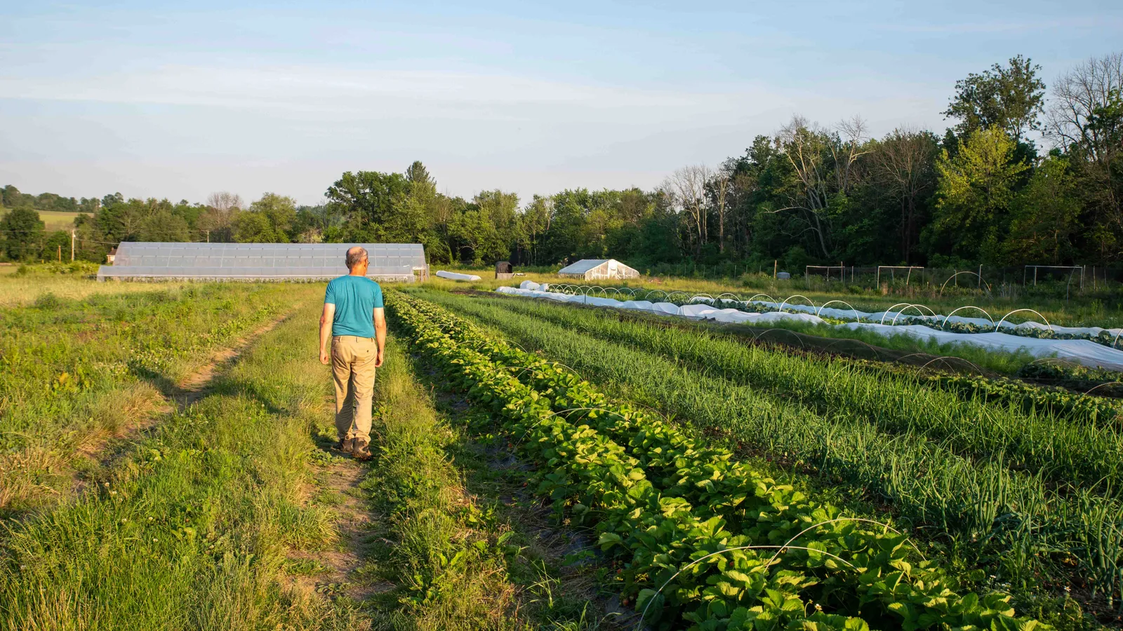
1. Agriculture:
Geospatial Imagery Analytics enables farmers to monitor crop health, detect diseases, optimize irrigation, and predict yields. By analyzing satellite imagery and other geospatial data, farmers can make data-driven decisions to increase productivity and reduce environmental impact.
2. Urban Planning:
City planners can use Geospatial Imagery Analytics to analyze land use patterns, assess infrastructure needs, and identify areas prone to natural disasters. By visualizing and understanding these patterns, urban planners can make informed decisions to create more sustainable and resilient cities.
3. Environmental Monitoring:
Geospatial Imagery Analytics plays a crucial role in monitoring and managing our natural resources. It helps track deforestation, monitor wildlife habitats, assess water quality, and detect changes in climate patterns. This information is vital for conservation efforts and sustainable resource management.
4. Transportation and Logistics:
Geospatial Imagery Analytics is used to optimize transportation routes, track assets, and improve supply chain efficiency. By analyzing geospatial data, companies can reduce fuel consumption, minimize delivery times, and enhance overall operational performance.
Transformative Impact:
Geospatial Imagery Analytics has the potential to revolutionize decision-making and problem-solving across industries. By unlocking the insights hidden within geospatial data, organizations can make informed decisions, mitigate risks, and streamline operations. The ability to analyze vast amounts of data quickly and accurately opens up new possibilities for innovation and growth.
Challenges and Future Trends:
While Geospatial Imagery Analytics holds immense potential, it also presents challenges. The sheer volume and complexity of geospatial data require advanced algorithms and high-performance computing capabilities. Additionally, ensuring data accuracy, privacy, and security remains crucial.
Looking ahead, the future of Geospatial Imagery Analytics is promising. Advancements in artificial intelligence, cloud computing, and sensor technology will continue to enhance the capabilities of this field. We can expect increased automation, real-time analytics, and improved integration with other emerging technologies like Internet of Things (IoT) and Blockchain.
Conclusion:
Geospatial Imagery Analytics is transforming the way we understand and interact with our world. By harnessing the power of geospatial data, organizations can gain valuable insights and make data-driven decisions. From agriculture to urban planning, environmental monitoring to transportation, the applications of Geospatial Imagery Analytics are vast and diverse. As technology continues to advance, we can anticipate even more exciting developments in this field, paving the way for a smarter and more sustainable future.
Source: https://www.marketresearchfuture.com/reports/geospatial-imagery-analytics-market-7700
What is Your Reaction?
 Like
1
Like
1
 Dislike
0
Dislike
0
 Love
0
Love
0
 Funny
0
Funny
0
 Angry
0
Angry
0
 Sad
0
Sad
0
 Wow
0
Wow
0