


Marion County Planning and Zoning Approves Recommendation for 72-Home Development – 352today
Report on Proposed Residential Development: Land Use Change and Sustainable Development Implications
1.0 Introduction and Executive Summary
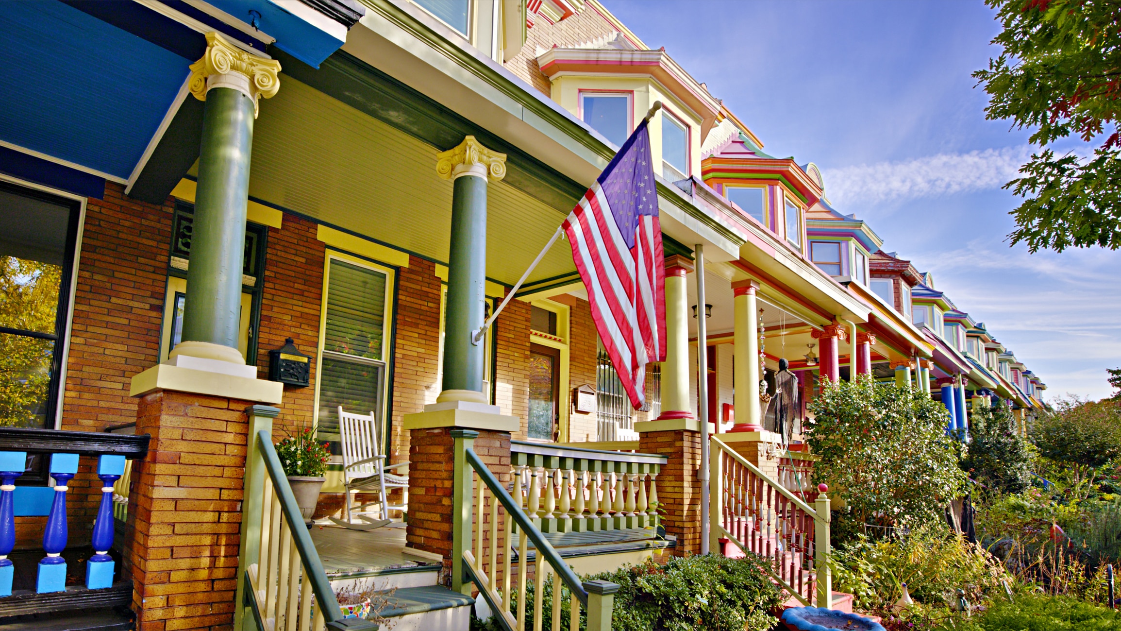
This report details the Marion County Planning and Zoning Board’s recommendation to approve a small-scale comprehensive plan amendment and a concurrent planned unit development (PUD) rezoning for a 19.75-acre property located at 7317 and 7325 SW 80th St., Ocala. The proposal seeks to change the land use designation from Low Residential to Medium Residential to facilitate the construction of a maximum of 72 single-family homes. The board approved the recommendations by a 6-2 vote. This analysis evaluates the project through the lens of the United Nations Sustainable Development Goals (SDGs), focusing on urban development, infrastructure, environmental impact, and community well-being.
2.0 Project Details and Procedural Status
2.1 Proposed Land Use and Zoning Modifications
The applications, submitted by Mastroserio Engineering on behalf of owner Linda Capozzoli, entail two related actions:
- A small-scale land use map amendment from Low Residential (0-1 dwelling unit per acre) to Medium Residential (1-4 dwelling units per acre).
- A concurrent rezoning from General Agriculture to a Planned Unit Development (PUD) with a proposed cap of 72 homes.
The subject property is located within Marion County’s designated urban growth boundary and the secondary springs protection overlay. It is not part of the Farmland Preservation area. A final public hearing is scheduled before the Marion County Board of County Commissioners on December 16.
3.0 Analysis of Alignment with Sustainable Development Goals (SDGs)
3.1 SDG 11: Sustainable Cities and Communities
This development directly engages with targets for sustainable urbanization and housing.
- Target 11.1 (Adequate Housing): The project aims to increase the housing supply by adding 72 units, contributing to housing availability in the region.
- Target 11.3 (Inclusive and Sustainable Urbanization): The proposal aligns with county staff’s goal to encourage higher-density growth within the established urban growth boundary. However, it conflicts with the preservation of the area’s existing rural and agricultural character, a key concern for residents who cited overdevelopment and the loss of neighborhood identity.
- Target 11.7 (Green and Public Spaces): The development plan includes the potential for an internal sidewalk system to connect with the adjacent Westwood Trails PUD, promoting walkability. Conversely, the project involves the conversion of a horse farm, representing a loss of green and agricultural space, which residents argued is detrimental to Ocala’s equestrian identity.
3.2 SDG 9: Industry, Innovation, and Infrastructure
The project’s viability and impact are heavily dependent on existing and future infrastructure.
- Target 9.1 (Resilient Infrastructure):
- Transportation: A traffic assessment found sufficient capacity on SW 80th St. for the projected increase in daily trips. However, residents reported severe existing congestion. While the county plans to widen SW 80th St. and install a new traffic signal at SR 200, this project is not programmed within the five-year plan, indicating a significant lag between development and necessary infrastructure upgrades.
- Utilities: Marion County has confirmed adequate capacity to handle increased demand for potable water, sanitary sewer, and solid waste services.
- Emergency Services: While fire suppression services are adequate, the nearest ambulance transport unit is approaching capacity. This infrastructure gap is planned to be addressed through recently passed impact fees, which require the development to contribute financially to service expansion.
3.3 SDG 3, SDG 6, and SDG 15: Health, Water, and Land Ecosystems
The development has direct implications for public health, water quality, and land use.
- SDG 3 (Good Health and Well-being): Residents raised significant safety concerns related to increased traffic, directly impacting Target 3.6 (reduce road traffic injuries).
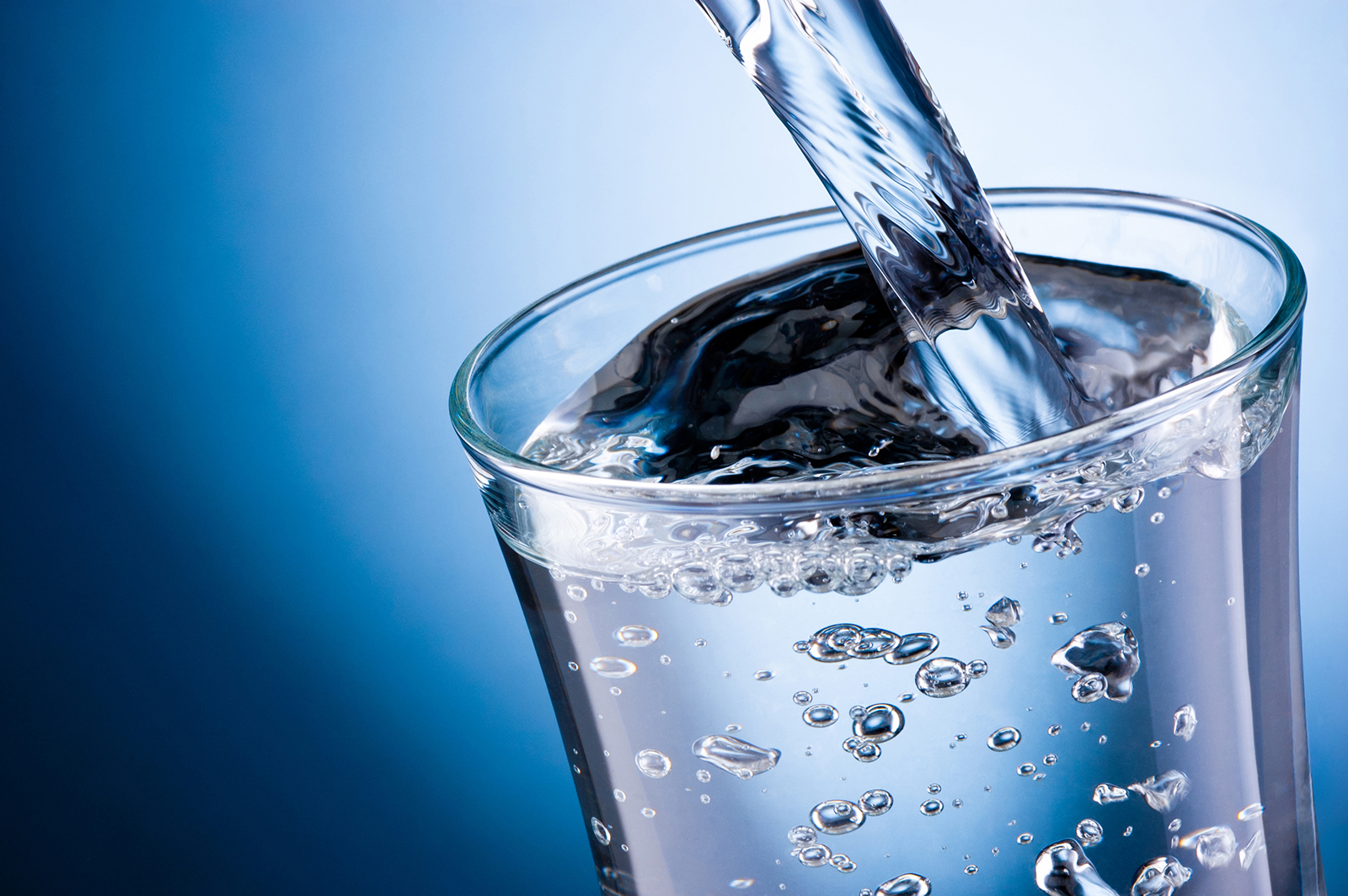
- SDG 6 (Clean Water and Sanitation): The property’s location in the secondary springs protection overlay underscores the importance of sustainable water management. Connection to Marion County’s central utility services is a critical measure to protect water resources.
- SDG 15 (Life on Land): The conversion of a 19.75-acre horse farm from agricultural use to a residential subdivision represents a direct impact on terrestrial ecosystems and a shift away from the region’s agricultural landscape. Staff recommendations include conditions to preserve as much existing viable vegetation as possible within required buffers to mitigate this impact partially.
4.0 Stakeholder Input and Public Opposition
4.1 Summary of Resident Concerns
Public opposition was significant, with Marion County staff receiving two letters of opposition and residents voicing concerns at the hearing. Key points of contention included:
- Overdevelopment: The addition of 72 homes, in conjunction with other nearby developments, was seen as excessive for the area.
- Traffic and Safety: Residents described existing difficulties accessing major roads like SR 200 and feared the addition of hundreds of new vehicle trips daily would exacerbate congestion and create dangerous conditions.
- Loss of Character: The transformation of a horse farm into a subdivision was viewed as a threat to the county’s equestrian heritage and rural quality of life.
- Infrastructure Lag: There was strong sentiment that infrastructure improvements are not keeping pace with the rate of new development.
Analysis of Sustainable Development Goals in the Article
1. Which SDGs are addressed or connected to the issues highlighted in the article?
The article on the planned unit development in Marion County touches upon several Sustainable Development Goals (SDGs) related to urban planning, infrastructure, environmental protection, and community well-being. The primary SDGs identified are:
- SDG 11: Sustainable Cities and Communities – This is the most prominent SDG, as the article’s core subject is urban development, housing, infrastructure, and public planning processes.
- SDG 15: Life on Land – The conversion of agricultural land and concerns over green space and natural vegetation directly relate to this goal.
- SDG 9: Industry, Innovation and Infrastructure – The discussion revolves heavily around the capacity and development of local infrastructure like roads, traffic management, and emergency services.
- SDG 6: Clean Water and Sanitation – The provision of water and sewer services and the location of the property within a springs protection zone connect the development to this goal.
2. What specific targets under those SDGs can be identified based on the article’s content?
Based on the details provided in the article, several specific SDG targets can be identified:
-
SDG 11: Sustainable Cities and Communities
- Target 11.1: Ensure access for all to adequate, safe and affordable housing and basic services. The project aims to build a “maximum of 72 houses,” directly addressing the supply of housing. It also confirms the provision of basic services, stating, “There will be increases to potable water, sedentary sewer and solid waste. The county has the capacity to accept the increase in demand.”
- Target 11.2: Provide access to safe, affordable, accessible and sustainable transport systems for all. The article extensively discusses transportation issues, including a traffic assessment, resident concerns about “congestion and safety issues,” and planned infrastructure improvements like the “widening 80th St.” and construction of a “signal at the current intersection of SR 200 and SW 80th St.” The potential to “connect the internal sidewalk system to the adjacent Westwood Trails” also promotes walkable, sustainable transport.
- Target 11.3: Enhance inclusive and sustainable urbanization and capacity for participatory, integrated and sustainable human settlement planning. The entire process described—approval by the “Marion County Planning and Zoning Board,” a scheduled “public hearing,” staff analysis, and the consideration of “two letters of opposition”—demonstrates a participatory planning process. The decision to increase density within the “urban growth boundary” is a direct example of human settlement planning.
- Target 11.7: Provide universal access to safe, inclusive and accessible, green and public spaces. This target is addressed through the concerns raised by residents about the “loss of green space” and the conversion of a “horse farm.” The staff’s recommendation for “preserving as much existing viable vegetation as possible” in buffers is a direct attempt to mitigate this loss.
-
SDG 15: Life on Land
- Target 15.1: Ensure the conservation, restoration and sustainable use of terrestrial and inland freshwater ecosystems. The article notes that the property is “in the secondary springs protection overlay,” which is a land-use control designed to protect sensitive freshwater ecosystems (the springs).
- Target 15.3: Combat desertification, restore degraded land and soil… and strive to achieve a land degradation-neutral world. The conversion of land from “general agriculture” and a “horse farm” to a high-density residential area represents a change in land use that reduces the amount of productive agricultural land, which can be considered a form of land degradation in this context.
-
SDG 9: Industry, Innovation and Infrastructure
- Target 9.1: Develop quality, reliable, sustainable and resilient infrastructure… to support economic development and human well-being. The article details the assessment of and plans for infrastructure. This includes the traffic analysis finding “sufficient roadway capacity for SW 80th St.,” the analysis of fire suppression services, and the planned expansion of SW 80th St. The fact that the nearest ambulance unit “is approaching capacity” highlights the need for resilient infrastructure development.
-
SDG 6: Clean Water and Sanitation
- Target 6.1 & 6.2: Achieve access to adequate and equitable sanitation and hygiene for all and end open defecation & Achieve universal and equitable access to safe and affordable drinking water for all. The plan’s reliance on Marion County’s utility services for “potable water” and “sedentary sewer” and the confirmation that the county has the capacity for this increase directly relates to these targets.
- Target 6.3: Improve water quality by reducing pollution. The property’s location in the “secondary springs protection overlay” is a policy measure aimed at preventing pollution and protecting the quality of the local water sources (springs) from development impacts.
3. Are there any indicators mentioned or implied in the article that can be used to measure progress towards the identified targets?
Yes, the article mentions or implies several quantitative and qualitative indicators that can be used to measure progress:
-
For SDG 11 (Sustainable Cities and Communities)
- Indicator for Target 11.1: The number of new housing units planned (a maximum of 72). The confirmation of county capacity to provide water, sewer, and solid waste services.
- Indicator for Target 11.2: The results of the “traffic analysis assessment.” The number of daily trips expected to increase. Qualitative resident reports of traffic congestion (“can’t even get out of 72nd Court at 7 a.m.”). The planned length of road widening for SW 80th St. and the installation of one new traffic signal.
- Indicator for Target 11.3: The number of public hearings held (one is scheduled). The number of opposition letters received by staff (two). The vote margin of the planning board (6-2). The change in land use density (from 0-1 dwelling unit per acre to 1-4 dwelling units per acre).
- Indicator for Target 11.7: The area of green space/agricultural land being converted (19.75 acres). The requirement for vegetative buffers as a condition of approval.
-
For SDG 15 (Life on Land)
- Indicator for Target 15.1: The proportion of new development occurring within environmentally sensitive zones (the entire 19.75-acre property is in the “secondary springs protection overlay”).
- Indicator for Target 15.3: The total area of agricultural land converted to other uses (19.75 acres from “general agriculture”).
-
For SDG 9 (Industry, Innovation and Infrastructure)
- Indicator for Target 9.1: The service level analysis of fire and rescue facilities (three stations are “operating at acceptable levels,” while the nearest transport unit is “approaching capacity”). The collection of impact fees to fund new resources. The timeline for infrastructure projects (the SW 80th St. project is to begin in “early 2026”).
-
For SDG 6 (Clean Water and Sanitation)
- Indicator for Target 6.1 & 6.2: The number of new households to be connected to public water and sewer systems (up to 72).
- Indicator for Target 6.3: The enforcement of development standards within the “springs protection overlay” to maintain water quality.
Summary Table of SDGs, Targets, and Indicators
| SDGs | Targets | Indicators Identified in Article |
|---|---|---|
| SDG 11: Sustainable Cities and Communities |
11.1: Access to adequate housing and basic services.
11.2: Access to safe and sustainable transport systems. 11.3: Inclusive and sustainable urbanization and planning. 11.7: Access to green and public spaces. |
– Number of new housing units (72). – Confirmed capacity for water, sewer, and solid waste services. – Traffic analysis assessment results. – Planned road widening and new traffic signal. – Public hearings and consideration of resident opposition. – Change in land use density from low to medium residential. – Area of green space/farmland converted (19.75 acres). – Requirement for vegetative buffers. |
| SDG 15: Life on Land |
15.1: Conservation of terrestrial and freshwater ecosystems.
15.3: Combat land degradation. |
– Development occurring within a “secondary springs protection overlay.”
– Conversion of 19.75 acres of “general agriculture” / “horse farm” land. |
| SDG 9: Industry, Innovation and Infrastructure | 9.1: Develop quality, reliable, and resilient infrastructure. |
– Analysis of fire and rescue service levels (some units “approaching capacity”). – Use of impact fees for infrastructure funding. – Timeline for road expansion project (starts early 2026). |
| SDG 6: Clean Water and Sanitation |
6.1 & 6.2: Access to safe water and sanitation.
6.3: Improve water quality. |
– Number of new households (72) to be connected to public water and sewer.
– Location of development within the “springs protection overlay.” |
Source: 352today.com
What is Your Reaction?
 Like
0
Like
0
 Dislike
0
Dislike
0
 Love
0
Love
0
 Funny
0
Funny
0
 Angry
0
Angry
0
 Sad
0
Sad
0
 Wow
0
Wow
0