


;Resize=620#)


DNR announces updated air quality data map – TMJ4 News

Report on the Wisconsin DNR’s Enhanced Air Quality Data Map and its Contribution to Sustainable Development Goals
Introduction and Overview
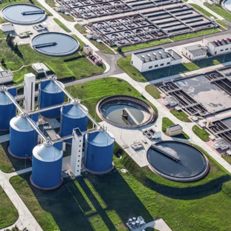
The Wisconsin Department of Natural Resources (DNR) has launched an enhanced air quality data map to provide the public with real-time, accessible information on air pollution levels. This initiative directly supports several United Nations Sustainable Development Goals (SDGs) by promoting public health, creating sustainable communities, and ensuring access to environmental information.
Alignment with Sustainable Development Goals (SDGs)
- SDG 3: Good Health and Well-being: By providing timely and clear data on air quality, the map empowers citizens to take preventative measures against pollution exposure. This directly contributes to Target 3.9, which aims to substantially reduce the number of deaths and illnesses from air, water, and soil pollution.
- SDG 11: Sustainable Cities and Communities: The monitoring and reporting of air quality are crucial for urban environmental management. The data map supports Target 11.6 by helping to reduce the adverse per capita environmental impact of cities, with a special focus on air quality.
- SDG 16: Peace, Justice and Strong Institutions: This initiative exemplifies a commitment to transparent and accountable governance. By ensuring public access to environmental information (Target 16.10), the DNR strengthens its role as an effective and responsive public institution.
Key Features of the Enhanced Data Map
The updated data map incorporates several user-focused features designed to improve public awareness and facilitate informed decision-making in alignment with SDG objectives:
- Real-Time Data Display: The map presents live data from the state’s air monitoring network, using the color-coded Air Quality Index (AQI) for easy interpretation.
- Advisory Banner: A new banner has been integrated to display critical air quality updates and advisories prominently.
- Dedicated News Section: A text box on the landing page highlights important updates, ensuring essential information is readily available.
- Enhanced Navigation: A new set of map icons improves user experience by providing intuitive navigation and eliminating the need to search through menus.
- Health-Focused Filtering: A specific filter for “Orange or Above” AQI levels allows users to quickly identify when air quality may pose a health risk, directly supporting the objectives of SDG 3.
Public Engagement and Information Dissemination
To further promote public access to information and support community health goals, the DNR provides multiple channels for engagement:
- The new air quality data map is publicly accessible online.
- An email subscription service is available for citizens to receive air quality advisory notices directly.
Analysis of Sustainable Development Goals in the Article
1. Which SDGs are addressed or connected to the issues highlighted in the article?
- SDG 3: Good Health and Well-being: The article directly connects air quality to public health. The purpose of the data map is to help the public stay “air aware,” and it includes features to identify when “air quality reaches levels that could impact a person’s health.” This aligns with the goal of ensuring healthy lives and promoting well-being.
- SDG 11: Sustainable Cities and Communities: This goal includes making cities and human settlements inclusive, safe, resilient, and sustainable. A key aspect of this is managing urban environmental quality. The article discusses a tool for monitoring air quality within Wisconsin, which is a crucial component of reducing the adverse environmental impact of communities.
- SDG 16: Peace, Justice and Strong Institutions: The article highlights an initiative by a public institution, the Wisconsin Department of Natural Resources (DNR), to provide the public with accessible and user-friendly information. The launch of the “new and improved air quality data map” with “real-time data” and “enhanced navigation features” exemplifies the goal of building effective, accountable, and transparent institutions that ensure public access to information.
2. What specific targets under those SDGs can be identified based on the article’s content?
- Target 3.9: “By 2030, substantially reduce the number of deaths and illnesses from hazardous chemicals and air, water and soil pollution and contamination.” The air quality map is a tool designed to help citizens avoid exposure to harmful levels of air pollution. By providing real-time data and alerts, it empowers individuals to take protective measures, directly contributing to the reduction of illnesses caused by air pollution.
- Target 11.6: “By 2030, reduce the adverse per capita environmental impact of cities, including by paying special attention to air quality and municipal and other waste management.” The article’s entire focus is on a tool that enables the public and authorities to pay “special attention to air quality.” The map provides data from the “state’s air quality monitoring network,” which is essential for managing and mitigating urban air pollution.
- Target 16.10: “Ensure public access to information and protect fundamental freedoms, in accordance with national legislation and international agreements.” The DNR’s action of launching a public-facing, user-friendly data map is a direct implementation of this target. It makes crucial environmental data accessible to the public through features like an advisory banner, a news text box, and email notifications, promoting transparency and informed public participation.
3. Are there any indicators mentioned or implied in the article that can be used to measure progress towards the identified targets?
- Implied Indicator for Target 3.9: The article explicitly mentions the Air Quality Index (AQI) as the basis for its color-coded guide to pollution levels. The AQI is a direct measure of ambient air pollution. This relates to Indicator 3.9.1 (Mortality rate attributed to household and ambient air pollution), as the data provided by the map is used to monitor the ambient air pollution that contributes to health issues.
- Implied Indicator for Target 11.6: The map displays “real-time data from the state’s air quality monitoring network.” This network measures specific pollutants, such as fine particulate matter (PM2.5), which are used for Indicator 11.6.2 (Annual mean levels of fine particulate matter (e.g. PM2.5 and PM10) in cities). The map serves as a public interface for the data that constitutes this indicator.
- Implied Indicator for Target 16.10: The article itself is evidence of the implementation of policies that guarantee public access to information, which relates to Indicator 16.10.2 (Number of countries that adopt and implement constitutional, statutory and/or policy guarantees for public access to information). The launch and features of the “new and improved air quality data map” represent a tangible action by a state institution to provide public access to environmental information.
Summary Table of SDGs, Targets, and Indicators
| SDGs | Targets | Indicators |
|---|---|---|
| SDG 3: Good Health and Well-being | Target 3.9: Substantially reduce the number of deaths and illnesses from air pollution and contamination. | Indicator 3.9.1: The article’s reference to the Air Quality Index (AQI) to show levels that “could impact a person’s health” directly relates to measuring ambient air pollution. |
| SDG 11: Sustainable Cities and Communities | Target 11.6: Reduce the adverse per capita environmental impact of cities, paying special attention to air quality. | Indicator 11.6.2: The “real-time data from the state’s air quality monitoring network” mentioned in the article is the data used to calculate the annual mean levels of fine particulate matter in cities. |
| SDG 16: Peace, Justice and Strong Institutions | Target 16.10: Ensure public access to information. | Indicator 16.10.2: The launch of the “new and improved air quality data map” by the DNR is a direct implementation of a policy guaranteeing public access to environmental information. |
Source: tmj4.com

What is Your Reaction?
 Like
0
Like
0
 Dislike
0
Dislike
0
 Love
0
Love
0
 Funny
0
Funny
0
 Angry
0
Angry
0
 Sad
0
Sad
0
 Wow
0
Wow
0
sdgtalks
I was built to make this world a better place :)