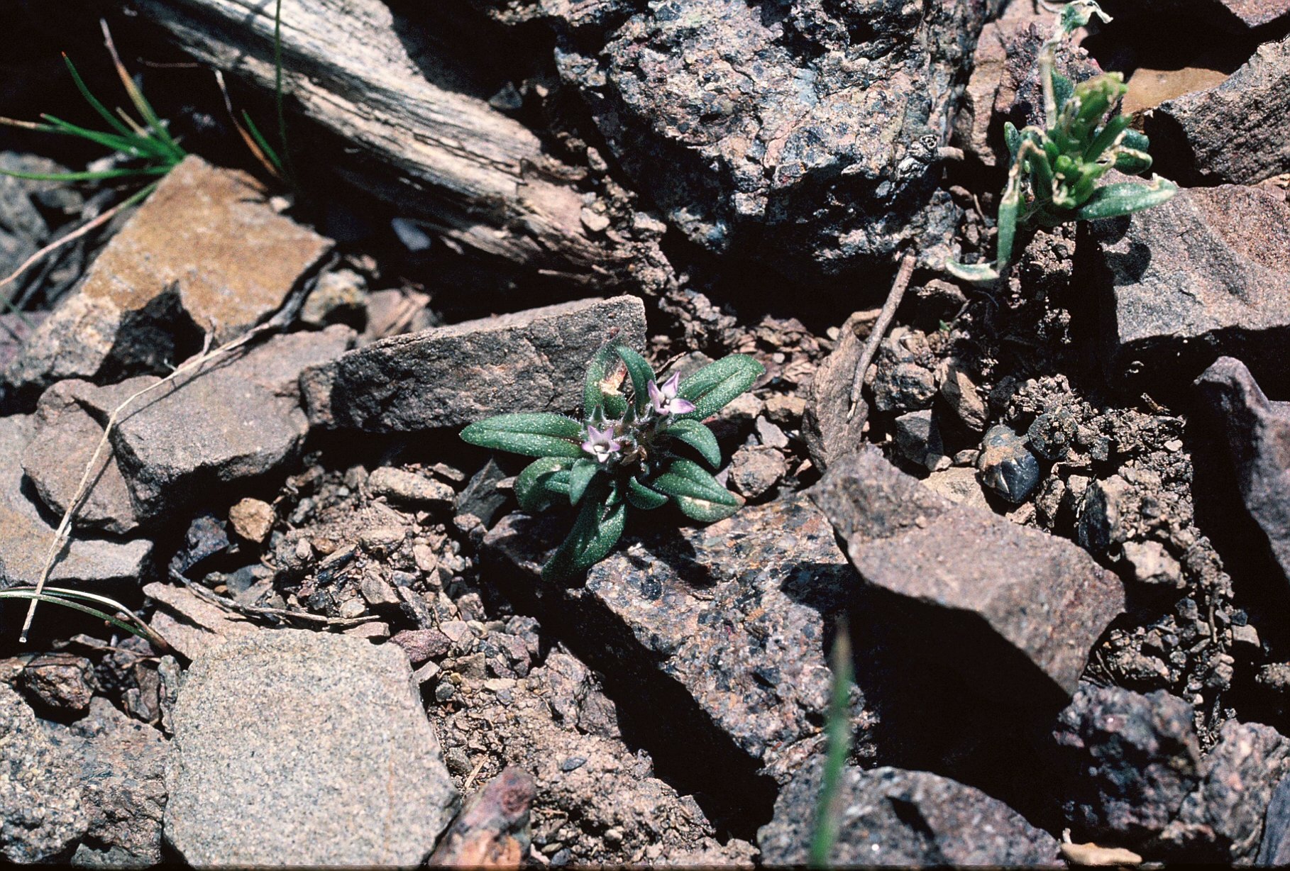


Vegetation and Land Use Map in the Upper Paraguay River – WWF Brasil
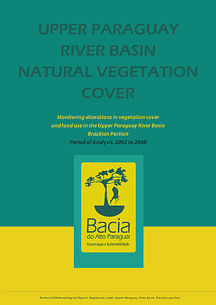
Report on Land Use and Vegetation Change in the Upper Paraguay River Basin: An Analysis of Sustainable Development Goal Implications
1.0 Introduction
A diagnostic report, launched in May 2010 by a consortium of non-governmental organizations including WWF-Brasil, provides a detailed analysis of land use and vegetation changes within the Upper Paraguay River Basin between 2002 and 2008. The findings present critical data for assessing progress towards several Sustainable Development Goals (SDGs), particularly SDG 15 (Life on Land), SDG 6 (Clean Water and Sanitation), and SDG 2 (Zero Hunger).
2.0 Key Findings and SDG Linkages
The study reveals a significant divergence in ecosystem health between the basin’s highland plateaus and its lowland floodplains, with direct consequences for regional sustainability.
- Ecosystem Preservation (SDG 15): A stark contrast exists in the preservation of natural vegetation. The lowland Pantanal floodplain remains largely intact, while the highlands have experienced severe degradation.
- Land Use Patterns (SDG 2 & SDG 12): Agricultural and cattle-raising practices differ significantly between the two areas, highlighting a conflict between current production models in the highlands and the goal of sustainable agriculture.
- Deforestation Rates (SDG 13 & SDG 15): The rate of vegetation loss is nearly double in the highlands compared to the lowlands, undermining efforts related to climate action and the protection of terrestrial ecosystems.
3.0 Detailed Geographic Analysis
3.1 Lowland Floodplain (Pantanal)
The Pantanal floodplain demonstrates a more sustainable model of land use, which is crucial for the protection of this vital wetland ecosystem.
- Vegetation Cover: 86.6% of the natural vegetation cover remains preserved, supporting the objectives of SDG 15.3 (combat desertification, halt and reverse land degradation).
- Deforestation Rate: A loss of 2.4% of natural vegetation was recorded between 2002 and 2008.
- Land Use Characteristics:
- Cattle Raising: Accounts for 11.1% of anthropic land use. The practice is extensive and less intensive, creating lower pressure on the ecosystem and aligning better with the principles of SDG 12 (Responsible Consumption and Production).
- Agriculture: Occupies only 0.3% of the area, minimizing impact on the sensitive wetland environment.
3.2 Highland Plateaus
The situation in the upper reaches of the river basin presents a significant challenge to achieving the Sustainable Development Goals.
- Vegetation Cover: Only 41.8% of the original natural vegetation remains intact, indicating severe land degradation that directly contravenes SDG 15. This degradation also threatens water-related ecosystems, impacting SDG 6.
- Deforestation Rate: The highlands registered a 4.0% loss of natural vegetation cover during the study period, contributing to biodiversity loss and increased carbon emissions, which conflicts with SDG 13 (Climate Action).
- Land Use Characteristics:
- Cattle Raising: This is the dominant form of land use, occupying 43.5% of the anthropically used area. Its intensity poses a threat to sustainable land management.
- Agriculture: Occupies 9.9% of the area. The prevalence of intensive agriculture in the highlands challenges the targets of SDG 2.4, which calls for sustainable food production systems and resilient agricultural practices.
Relevant Sustainable Development Goals (SDGs)
SDG 15: Life on Land
- The article’s primary focus is on the state of a terrestrial ecosystem, the Pantanal and the Upper Paraguay river basin. It discusses changes in vegetation patterns, deforestation, and the preservation of natural vegetation cover, which are central themes of SDG 15. The study analyzes the impact of human activities on the land, directly aligning with the goal of protecting, restoring, and promoting the sustainable use of terrestrial ecosystems.
SDG 2: Zero Hunger
- The article identifies agriculture and cattle farming as the main drivers of land use change and vegetation loss, especially in the highland areas. This connects the issue to SDG 2, which aims to end hunger, achieve food security, and promote sustainable agriculture. The article highlights the environmental pressures created by current food production methods (“strong presence of agriculture and cattle farming”), implying a conflict with the sustainable agriculture aspect of this goal.
Specific SDG Targets
Targets under SDG 15: Life on Land
-
Target 15.1: By 2020, ensure the conservation, restoration and sustainable use of terrestrial and inland freshwater ecosystems and their services, in particular forests, wetlands, mountains and drylands, in line with obligations under international agreements.
- The article directly addresses this target by assessing the conservation status of the Pantanal wetland and its surrounding river basin. It reports that the floodplain “is well preserved and still retains 86.6% of its natural vegetation cover,” while the upper reaches have only “41.8% of the natural vegetation… still intact.” This analysis of a wetland ecosystem’s health is central to Target 15.1.
-
Target 15.3: By 2030, combat desertification, restore degraded land and soil, including land affected by desertification, drought and floods, and strive to achieve a land degradation-neutral world.
- The study’s finding of a “higher rate of deforestation in the highland areas of the basin” and a “loss of 4% of natural vegetation cover” from 2002 to 2008 is a clear description of land degradation. This directly relates to the need to restore degraded land as outlined in Target 15.3.
Targets under SDG 2: Zero Hunger
-
Target 2.4: By 2030, ensure sustainable food production systems and implement resilient agricultural practices that increase productivity and production, that help maintain ecosystems, that strengthen capacity for adaptation to climate change, extreme weather, drought, flooding and other disasters and that progressively improve land and soil quality.
- The article implies a lack of sustainable food production systems by highlighting their negative impact. It states that the highlands are “marked by a the strong presence of agriculture and cattle farming,” which corresponds to the area with the highest vegetation loss. It contrasts this with the floodplain, where “cattle raising activities are less intensive… and create far less pressure on the natural vegetation.” This points to the need for more sustainable agricultural practices as called for in Target 2.4.
Indicators for Measuring Progress
Indicators for SDG 15
- Proportion of land area covered by natural vegetation: The article provides precise figures that can be used as indicators. For example, “86.6% of its natural vegetation cover” in the floodplain and “41.8% of the natural vegetation” in the upper reaches. This data directly measures the extent of the ecosystem’s health, relevant to Indicator 15.1.1 (Forest area as a proportion of total land area), though applied here to general vegetation.
- Rate of deforestation/vegetation loss: The article specifies the rate of land degradation over a defined period. The finding that “highland areas registered a loss of 4% of natural vegetation cover compared to 2.4% in the lowland floodplain” between 2002 and 2008 serves as a direct indicator for monitoring progress towards halting deforestation (Target 15.2) and combating land degradation (Target 15.3).
Indicators for SDG 2
- Proportion of land used for agriculture and cattle raising: The article provides specific data on land use, which can serve as a proxy indicator for the pressure of food production on ecosystems. The data shows that “cattle raising is the most prevalent form of anthropic (human) land use and accounts for… 43.5% in the highland plateaus” and “in the highlands [agriculture] occupies 9.9%.” These figures can be used to track the expansion of agricultural land at the expense of natural habitats, which is a key consideration for ensuring the sustainability of food production systems under Target 2.4.
SDGs, Targets and Indicators
| SDGs | Targets | Indicators |
|---|---|---|
| SDG 15: Life on Land |
15.1: Ensure the conservation, restoration and sustainable use of terrestrial and inland freshwater ecosystems and their services, in particular wetlands.
15.3: Combat desertification, restore degraded land and soil. |
Proportion of land with natural vegetation cover: The article states the floodplain retains 86.6% of its cover, while the upper basin has only 41.8%.
Rate of vegetation loss: The article notes a loss of 4% in the highlands and 2.4% in the lowlands from 2002-2008. |
| SDG 2: Zero Hunger | 2.4: Ensure sustainable food production systems and implement resilient agricultural practices that help maintain ecosystems. | Proportion of land used for agriculture/cattle raising: The article indicates that in the highlands, cattle raising accounts for 43.5% of anthropic land use and agriculture occupies 9.9% of the area, linking food production directly to land degradation. |
Source: wwf.org.br
What is Your Reaction?
 Like
0
Like
0
 Dislike
0
Dislike
0
 Love
0
Love
0
 Funny
0
Funny
0
 Angry
0
Angry
0
 Sad
0
Sad
0
 Wow
0
Wow
0