Integrating RUSLE, AHP, GIS, and cloud-based geospatial analysis for soil erosion assessment under mediterranean conditions – Nature

Report on Soil Erosion Risk Assessment in the Mitidja Plain, Algeria
Executive Summary
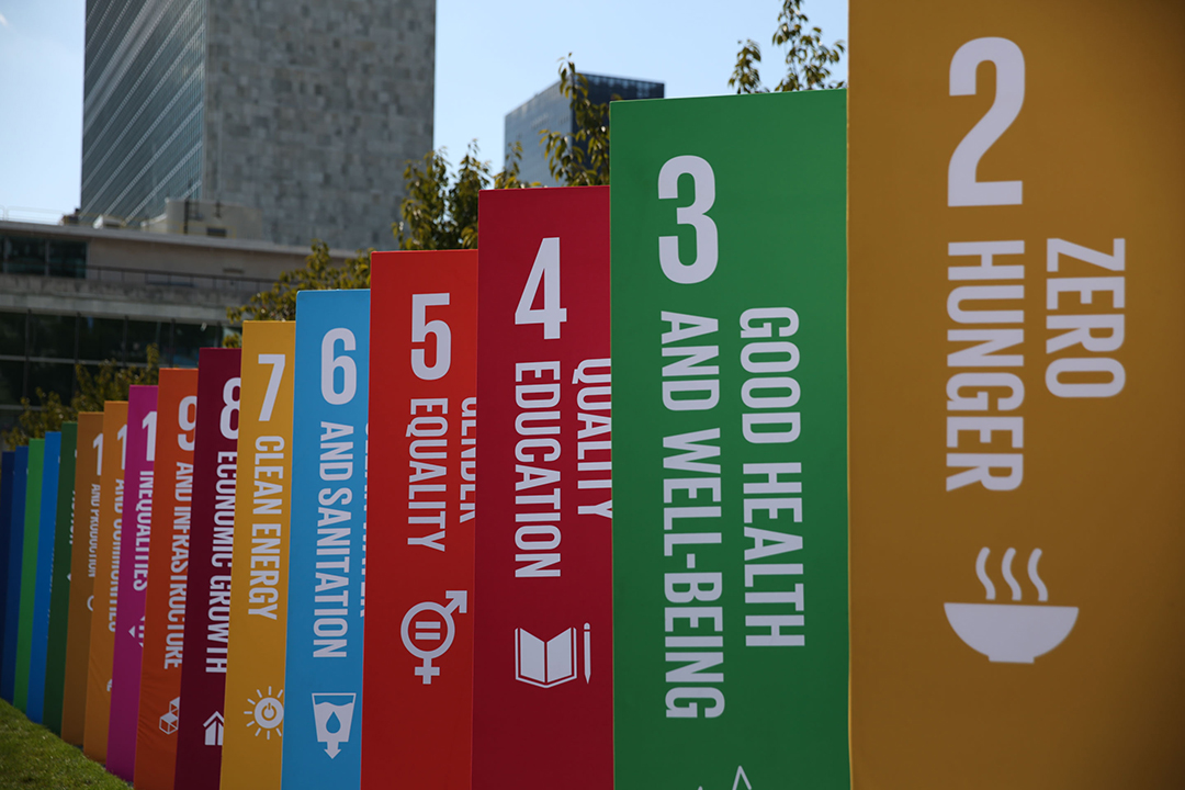
This report details an assessment of soil erosion risk in the Mitidja Plain of north-central Algeria, a region critical for national agriculture but facing significant land degradation. The analysis integrates the Revised Universal Soil Loss Equation (RUSLE), Analytical Hierarchy Process (AHP), and Geographic Information System (GIS) techniques within a Google Earth Engine (GEE) cloud-based framework. The findings reveal that 41% of the plain is at severe risk of erosion, with an average soil loss of 88.72 t ha⁻¹ yr⁻¹. This degradation directly threatens the achievement of multiple Sustainable Development Goals (SDGs), particularly SDG 2 (Zero Hunger) and SDG 15 (Life on Land). The report identifies slope characteristics as the primary driver of erosion and maps critical hotspots requiring immediate intervention. Recommendations are provided for targeted, SDG-aligned conservation strategies, including structural measures and adaptive agricultural practices, to mitigate soil loss, enhance food security, and promote sustainable land management.
1.0 Introduction: Soil Erosion and the Sustainable Development Agenda
Soil erosion is a primary driver of land degradation, posing a significant threat to global environmental stability and the achievement of the 2030 Agenda for Sustainable Development. The loss of fertile topsoil directly undermines agricultural productivity, jeopardizing food security and progress towards SDG 2 (Zero Hunger). Furthermore, it accelerates biodiversity loss, desertification, and the degradation of terrestrial ecosystems, directly contravening the objectives of SDG 15 (Life on Land). The consequences extend to water systems, where sedimentation degrades water quality and increases flood risk, impacting SDG 6 (Clean Water and Sanitation).
In Mediterranean regions like Algeria’s Mitidja Plain, these challenges are amplified by climatic variability, steep topography, and intensive human activities. This study was undertaken to provide a data-driven assessment of soil erosion in this vital agricultural region. By leveraging advanced geospatial technologies, the analysis aims to identify priority areas for conservation and guide the implementation of sustainable land management practices that align with international development goals.
1.1 Study Objectives
The primary objectives of this assessment were to:
- Quantify soil erosion risk across the Mitidja Plain using an integrated modeling approach.
- Identify erosion hotspots and evaluate the primary factors contributing to soil loss.
- Propose targeted conservation measures to mitigate land degradation and support the achievement of relevant SDGs.
- Establish a replicable, cloud-based framework for monitoring soil erosion in other Mediterranean regions.
2.0 Methodology and Analytical Framework
The assessment was conducted using a multi-method approach that combines empirical modeling with multi-criteria decision analysis, all processed within a highly efficient cloud-based geospatial (CBG) environment.
2.1 Integrated Modeling Approach
The core of the analysis involved the integration of three key components:
- Revised Universal Soil Loss Equation (RUSLE): An empirical model used to estimate average annual soil loss based on five key factors.
- Analytical Hierarchy Process (AHP): A multi-criteria decision-making technique used to assign weights to the RUSLE factors based on their relative importance in contributing to erosion.
- Geographic Information System (GIS) and Google Earth Engine (GEE): A cloud-based platform used to process high-resolution satellite imagery and geospatial datasets to derive the RUSLE factors and map erosion risk at a regional scale. This technological approach supports SDG 17 (Partnerships for the Goals) by utilizing innovative tools for sustainable development challenges.
2.2 RUSLE Factor Derivation
The following five factors were calculated using high-resolution datasets within the GEE platform:
- Rainfall Runoff Erosivity (RE): Derived from CHIRPS rainfall data, quantifying the erosive force of precipitation.
- Soil Erodibility (KS): Calculated from soil texture and property maps, indicating the soil’s intrinsic susceptibility to erosion.
- Slope Length and Steepness (LS): Derived from SRTM digital elevation data, reflecting the influence of topography.
- Cropping Management (CM): Determined from Sentinel-2 satellite imagery (NDVI), representing the protective effect of vegetation cover.
- Management Practices (PC): Assessed based on land use patterns to reflect the impact of conservation measures.
3.0 Results: Erosion Risk and Vulnerability Assessment
The integrated analysis produced a detailed spatial assessment of soil erosion across the Mitidja Plain, identifying areas of varying vulnerability and quantifying the rate of soil loss.
3.1 Overall Soil Loss and Risk Classification
The model estimated an average annual soil loss of 88.72 t ha⁻¹ yr⁻¹ for the region, with a maximum rate reaching 161.13 t ha⁻¹ yr⁻¹. This rate significantly exceeds sustainable thresholds and poses a direct threat to long-term agricultural viability, a key component of SDG 2. The spatial analysis revealed that a substantial portion of the plain is under severe threat:
- Severe Risk: 41% of the study area.
- Moderate to High Risk: 48% of the study area, primarily concentrated in agricultural lands.
- Low Risk: 30% of the study area, corresponding to forested and flat terrains.
The AHP analysis identified slope characteristics (LS factor) as the most influential factor driving erosion (weight = 0.292), followed by rainfall erosivity (RE factor).
3.2 Identification of Erosion Hotspots
Erosion hotspots were predominantly located in areas where multiple risk factors converge:
- Unprotected Mountainous Zones: Covering 22% of the study area, these regions are characterized by slopes exceeding 22°, sparse vegetation, and high-intensity rainfall. These zones were classified as having critical vulnerability.
- Agricultural Lands: Areas with moderate to high vulnerability (48% of the plain) are largely agricultural, where land management practices are insufficient to counteract the erosive forces of slope and rainfall. This finding highlights a critical challenge to achieving SDG 15.3, which aims to combat desertification and restore degraded land.
The model’s predictive accuracy was validated and found to be strong (AUC = 0.87), confirming the reliability of the AHP-weighted framework for identifying priority conservation areas.
4.0 Conclusion and Strategic Recommendations for SDG-Aligned Land Management
This assessment confirms that the Mitidja Plain faces a severe soil erosion crisis that threatens its ecological and agricultural sustainability. The degradation of this vital land resource directly impedes progress towards SDG 2 (Zero Hunger) and SDG 15 (Life on Land). The cloud-based geospatial framework proved highly effective for mapping erosion risk and provides a scalable model for other regions. Based on the findings, the following strategic recommendations are proposed to guide an SDG-aligned response.
4.1 Recommended Conservation Interventions
- Implement Structural Measures in Critical Zones: In the 22% of mountainous zones identified as critical hotspots, urgent intervention is required. The implementation of terracing and check dams will reduce runoff velocity and trap sediment, directly contributing to land degradation neutrality (SDG 15.3).
- Promote Adaptive Agricultural Practices: For the 48% of agricultural lands with moderate to high vulnerability, a shift towards conservation agriculture is essential. Practices such as cover cropping, conservation tillage, and vegetation restoration will enhance soil cover, improve soil health, and reduce erosion, thereby securing agricultural productivity for SDG 2.
- Enhance Forest and Vegetation Cover: Forested areas were shown to reduce erosion risk significantly. Reforestation and vegetation restoration initiatives should be prioritized, especially on steep, degraded slopes, to stabilize soil and enhance biodiversity (SDG 15).
- Establish an Integrated Monitoring Framework: The methodology developed in this study should be adopted for continuous monitoring of soil resources. This provides decision-makers with robust spatial data to adapt management strategies and track progress towards national and international sustainability targets.
Analysis of Sustainable Development Goals (SDGs) in the Article
1. Which SDGs are addressed or connected to the issues highlighted in the article?
-
SDG 2: Zero Hunger
The article directly connects soil erosion to threats against “agricultural productivity” and “food security.” By assessing erosion risks, the study aims to provide solutions for sustainable agriculture, which is essential for ending hunger and ensuring a stable food supply.
-
SDG 6: Clean Water and Sanitation
The introduction states that soil erosion “contributes to sedimentation in water bodies, resulting in degraded water quality.” The study’s efforts to model and mitigate soil loss are therefore relevant to protecting water resources from pollution caused by runoff and sediment, which aligns with the goal of ensuring clean water.
-
SDG 13: Climate Action
The article identifies “climatic variability” and high “rainfall intensity” as major drivers of soil erosion in the Mediterranean region. The research provides a framework for “adaptive agricultural practices” and conservation planning, which helps in building resilience and adapting to the impacts of climate change, such as extreme weather events.
-
SDG 15: Life on Land
This is the most central SDG addressed. The entire study is focused on assessing and combating “soil erosion” and “land degradation.” It aims to protect biodiversity, promote sustainable land management, restore degraded land, and sustainably manage forested and mountainous ecosystems, all of which are core components of SDG 15.
2. What specific targets under those SDGs can be identified based on the article’s content?
-
Target 2.4 (under SDG 2)
This target aims to “ensure sustainable food production systems and implement resilient agricultural practices that increase productivity… and that progressively improve land and soil quality.” The article directly supports this by assessing soil loss to recommend “adaptive agricultural practices,” “terracing,” and “conservation tillage” specifically for “agricultural lands with moderate to high vulnerability (48% of the plain).”
-
Target 6.6 (under SDG 6)
This target calls to “protect and restore water-related ecosystems, including mountains, forests, wetlands, rivers, aquifers and lakes.” The study’s focus on mitigating soil erosion, which leads to sedimentation and degradation of water quality in water bodies, directly contributes to the protection of these ecosystems.
-
Target 13.1 (under SDG 13)
This target focuses on strengthening “resilience and adaptive capacity to climate-related hazards and natural disasters.” The article’s modeling of erosion risk based on high “rainfall intensity” and “climatic variability” helps identify areas most vulnerable to these climate-related hazards, thereby providing the data needed to build resilience through targeted interventions.
-
Target 15.3 (under SDG 15)
This target is to “combat desertification, restore degraded land and soil… and strive to achieve a land degradation-neutral world.” The article’s primary objective is to assess soil erosion risk to mitigate land degradation. The findings that “41% of the Mitidja Plain is at severe erosion risk” and the estimation of soil loss rates are direct contributions to monitoring and addressing this target.
-
Target 15.1 (under SDG 15)
This target is to “ensure the conservation, restoration and sustainable use of terrestrial and inland freshwater ecosystems and their services, in particular forests… and mountains.” The article explicitly analyzes the role of “forested areas” in reducing erosion and identifies “unprotected mountainous zones” as high-priority areas for intervention, directly aligning with this target.
3. Are there any indicators mentioned or implied in the article that can be used to measure progress towards the identified targets?
-
Indicators for Target 15.3 (Combat desertification and restore degraded land)
- Proportion of land that is degraded: The article provides precise data for this indicator, stating that “41% of the Mitidja Plain is at severe erosion risk.” It further breaks down the land into different vulnerability classes: moderate (37%), high (13%), and very high (9%).
- Rate of soil loss: The study quantifies the “average soil loss of 88.72 t ha⁻¹ yr⁻¹ and a maximum of 161.13 t ha⁻¹ yr⁻¹.” This serves as a direct, measurable indicator of the severity of land degradation.
-
Indicators for Target 15.1 (Conserve terrestrial ecosystems)
- Proportion of land covered by forest/vegetation: The article uses vegetation cover as a key factor, noting that “Forested areas reduced erosion risk in 30% of the region.” The Normalized Difference Vegetation Index (NDVI) is used to calculate the C-factor, making vegetation cover a quantifiable indicator.
- Area of vulnerable ecosystems requiring intervention: The study identifies that “unprotected mountainous zones covering 22% of the study area require urgent intervention,” which can be used as an indicator for conservation planning.
-
Indicator for Target 2.4 (Sustainable agriculture)
- Proportion of agricultural area under unsustainable practices: The article implies this indicator by identifying that “agricultural lands with moderate to high vulnerability (48% of the plain)” are at risk due to erosion. The high soil loss rate (88.72 t ha⁻¹ yr⁻¹) on these lands indicates a lack of sustainable agricultural practices.
4. Summary Table of SDGs, Targets, and Indicators
| SDGs | Targets | Indicators |
|---|---|---|
| SDG 2: Zero Hunger | 2.4: Ensure sustainable food production systems and implement resilient agricultural practices that progressively improve land and soil quality. |
|
| SDG 6: Clean Water and Sanitation | 6.6: Protect and restore water-related ecosystems, including mountains and forests. |
|
| SDG 13: Climate Action | 13.1: Strengthen resilience and adaptive capacity to climate-related hazards. |
|
| SDG 15: Life on Land | 15.3: Combat desertification, restore degraded land and soil, and strive to achieve a land degradation-neutral world. |
|
| SDG 15: Life on Land | 15.1: Ensure the conservation, restoration, and sustainable use of terrestrial ecosystems, particularly forests and mountains. |
|
Source: nature.com
What is Your Reaction?
 Like
0
 Dislike
0
 Love
0
 Funny
0
 Angry
0
 Sad
0
Sad
0
 Wow
0
Wow
0
