


Conservation in the Path of Development: New Data to Guide Biodiversity-Sensitive Road Planning – World Bank Blogs

Report on Aligning Road Infrastructure with Global Biodiversity and Sustainable Development Goals
Introduction: The Intersection of Infrastructure, Biodiversity, and the 2030 Agenda
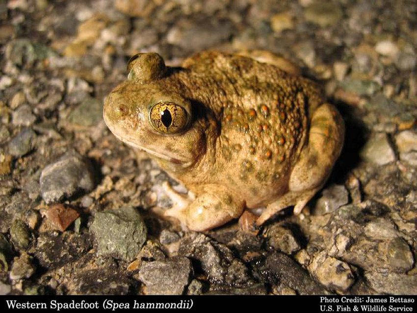
The loss of biodiversity presents a critical threat to the achievement of the Sustainable Development Goals (SDGs), directly impacting planetary health, economic stability, and human well-being. Biodiversity is fundamental to attaining key SDGs, including SDG 1 (No Poverty), SDG 2 (Zero Hunger), and SDG 13 (Climate Action), by supporting food security, clean water, and climate stability. The current biodiversity crisis, marked by a 68% decline in global populations since 1970, jeopardizes these development outcomes. In response, the Kunming-Montreal Global Biodiversity Framework (GBF) calls for the integration of conservation principles into all development sectors. This report outlines the critical role of sustainable infrastructure, as targeted by SDG 9 (Industry, Innovation, and Infrastructure), in protecting terrestrial ecosystems, a core objective of SDG 15 (Life on Land).
Infrastructure’s Impact on Biodiversity and SDG 15
Road Development as a Primary Driver of Biodiversity Loss
While road infrastructure is essential for economic growth and connectivity, its planning and implementation often conflict with environmental conservation targets. Unplanned road development is a significant driver of biodiversity loss, directly undermining SDG 15. The primary impacts include:
- Habitat Fragmentation: Roads divide ecosystems, isolating wildlife populations and reducing genetic diversity.
- Increased Mortality: Vehicle collisions pose a direct threat to wildlife.
- Ecosystem Disruption: Roads alter local hydrology and microclimates and introduce noise, light pollution, and invasive species.
To align infrastructure projects with the GBF and SDG 9‘s mandate for sustainable development, it is imperative that biodiversity data informs every stage of the planning, assessment, and design process. Making ecological risk a central consideration is essential for achieving sustainable and inclusive growth.
A Data-Driven Solution for Sustainable Road Planning
Addressing Data Gaps to Advance the SDGs
A significant barrier to integrating biodiversity into infrastructure planning has been the lack of accessible, high-resolution, and taxonomically comprehensive data, particularly in developing nations. Traditional datasets often focus narrowly on vertebrates and are updated infrequently, providing an incomplete basis for risk assessment. To address this challenge and support evidence-based decision-making, the World Bank has developed new resources to help align infrastructure development with SDG 15 and SDG 14 (Life Below Water).
The World Bank’s Global Species Database
The World Bank has developed an open-access Global Species Database derived from the Global Biodiversity Information Facility (GBIF). This resource represents a significant advancement for sustainable development planning by providing:
- Comprehensive Coverage: The database includes over 600,000 species, encompassing plants, invertebrates, fungi, and freshwater species, offering a more holistic view of ecosystems.
- High-Resolution Data: It utilizes millions of georeferenced observations processed with machine-based pattern recognition to deliver timely and spatially precise insights.
- Support for SDG 17 (Partnerships for the Goals): The database is an open-access tool that facilitates collaboration between governments, planners, and conservation organizations to achieve shared development and environmental objectives.
This tool enables the early identification of ecological risks, ensuring that infrastructure projects contribute positively to both economic development and biodiversity conservation targets.
Methodology for Biodiversity-Sensitive Road Corridor Investment
A Scalable Framework for Risk Assessment
The World Bank has established a practical methodology for applying this new data to identify biodiversity-critical road corridors. This approach provides a systematic framework for integrating the principles of SDG 15 into the planning of new roads and upgrades, as envisioned under SDG 9 and SDG 11 (Sustainable Cities and Communities).
- Species Prioritization: Species are classified into four priority groups based on their occurrence region size and endemism. The highest priority is assigned to endemic species with small ranges, as they are most vulnerable to habitat loss.
- Data Integration: The system overlays species distribution data with national road networks from OpenStreetMap, forest cover data, and topographical information to model potential road corridors.
- Corridor Analysis: A 2.5 km buffer is applied to each side of selected road links to define the analysis corridor. Species richness is then calculated within each corridor for all priority groups.
- Decision-Support Tool: The results are standardized and color-coded, creating a clear, comparable, and actionable tool for planners to identify and mitigate potential ecological risks before construction begins.
This adaptable framework allows users to integrate local data and customize criteria, enhancing its relevance and precision for national and regional planning efforts. By providing this robust, data-driven methodology, the World Bank is equipping decision-makers with the tools needed to build sustainable infrastructure that supports, rather than undermines, global biodiversity goals.
Analysis of Sustainable Development Goals in the Article
1. Which SDGs are addressed or connected to the issues highlighted in the article?
-
SDG 9: Industry, Innovation and Infrastructure
The article directly addresses SDG 9 by focusing on road infrastructure development. It critiques infrastructure planned without considering biodiversity and proposes a new methodology to build more sustainable infrastructure that minimizes ecological risks, aligning with the goal of developing quality, reliable, and sustainable infrastructure.
-
SDG 11: Sustainable Cities and Communities
This goal is relevant as the article discusses road corridors that connect communities and support growth. By advocating for biodiversity-sensitive road planning, it contributes to Target 11.a, which aims to support positive environmental links between urban, peri-urban, and rural areas through better national and regional development planning.
-
SDG 15: Life on Land
This is the most central SDG in the article. The text is dedicated to the issue of biodiversity loss driven by infrastructure. It discusses the crisis of species extinction, habitat fragmentation caused by roads, and the need to conserve terrestrial ecosystems. The entire methodology presented is a tool to achieve the targets under SDG 15 by integrating biodiversity conservation into development.
-
SDG 17: Partnerships for the Goals
The article exemplifies SDG 17 by describing a global partnership. The World Bank developed its Global Species Database using data from the Global Biodiversity Information Facility (GBIF). This collaboration to create and share open-access data and methodologies supports sustainable development efforts in developing countries, which is a core principle of SDG 17.
2. What specific targets under those SDGs can be identified based on the article’s content?
-
Target 9.1: Develop quality, reliable, sustainable and resilient infrastructure
The article’s main purpose is to provide a “practical method for planning new roads and upgrades” that is sustainable. It argues that for infrastructure to be sustainable, “biodiversity data must inform planning, assessment, and design.” The proposed methodology is a direct contribution to making road infrastructure more ecologically sustainable and resilient.
-
Target 15.5: Take urgent and significant action to reduce the degradation of natural habitats, halt the loss of biodiversity and, by 2020, protect and prevent the extinction of threatened species
The article highlights the urgency of this target by citing that “extinction rates are now up to 1,000 times above natural levels, with nearly one million species at risk.” It identifies roads as a driver of habitat fragmentation and wildlife mortality. The World Bank’s tool is designed to “minimize ecological risks” and protect vulnerable species, directly addressing the need to halt biodiversity loss.
-
Target 15.9: By 2020, integrate ecosystem and biodiversity values into national and local planning, development processes
This target is at the core of the article’s argument. The text states that “biodiversity must be embedded into infrastructure policy, particularly in road development.” The development of the Global Species Database and the associated methodology is a concrete tool created to facilitate this exact integration, enabling planners to make “ecological risk a core consideration in infrastructure decisions.”
-
Target 17.16: Enhance the global partnership for sustainable development… that mobilize and share knowledge, expertise, technology
The article describes a partnership where the World Bank processes “millions of georeferenced observations from the Global Biodiversity Information Facility (GBIF)” to create a new, open-access database. This initiative mobilizes and shares data (knowledge) and processing techniques (technology) to “equip road planners with high-resolution, taxonomically rich insights,” which perfectly aligns with the spirit of this target.
3. Are there any indicators mentioned or implied in the article that can be used to measure progress towards the identified targets?
-
Indicators for Target 15.5
The article explicitly mentions several high-level indicators that track the problem of biodiversity loss:
- The Living Planet Index: The article cites its finding of a “68% decline in global biodiversity since 1970.”
- Species Extinction Risk: The IPBES Global Assessment Report is referenced, stating that “nearly one million species at risk.”
The methodology proposed in the article also implies a project-level indicator:
- Species Richness in Infrastructure Corridors: The article explains that its method “calculates species richness within each corridor across priority groups.” This calculation can be used as a direct indicator to assess and compare the potential biodiversity impact of different road alignments before construction.
-
Indicators for Target 15.9
The article implies an indicator related to policy and planning integration:
- Adoption of biodiversity-informed planning tools: The existence and use of the World Bank’s “Global Species Database” and its “scalable method to help planners identify biodiversity-critical road corridors” serve as a tangible indicator that biodiversity values are being integrated into infrastructure planning processes.
-
Indicators for Target 17.16
The article provides a clear indicator of a functioning data-sharing partnership:
- Availability and use of shared global databases: The article points to the “World Bank’s new open-access biodiversity data” and its accessibility on the “Development Data Hub.” The database itself, covering “over 600,000 species,” is a measurable outcome of the partnership between the World Bank and data providers like GBIF.
4. Summary Table of SDGs, Targets, and Indicators
| SDGs | Targets | Indicators |
|---|---|---|
| SDG 9: Industry, Innovation and Infrastructure | 9.1: Develop quality, reliable, sustainable and resilient infrastructure. | Implied: Degree to which biodiversity data and ecological risk assessments are integrated into infrastructure planning and design, as facilitated by the proposed methodology. |
| SDG 15: Life on Land | 15.5: Take urgent action to reduce the degradation of natural habitats and halt biodiversity loss. | Mentioned: The Living Planet Index (showing a 68% decline); Number of species at risk of extinction (nearly one million). Implied: Calculation of species richness within proposed road corridors to guide planning. |
| SDG 15: Life on Land | 15.9: Integrate ecosystem and biodiversity values into national and local planning. | Implied: The development and application of decision-support tools, such as the World Bank’s Roads Database, in national and local infrastructure planning processes. |
| SDG 17: Partnerships for the Goals | 17.16: Enhance the global partnership for sustainable development… that mobilize and share knowledge. | Mentioned: The creation and open-access availability of the “Global Species Database” on the World Bank’s “Development Data Hub,” built from GBIF data. |
Source: blogs.worldbank.org
What is Your Reaction?
 Like
0
Like
0
 Dislike
0
Dislike
0
 Love
0
Love
0
 Funny
0
Funny
0
 Angry
0
Angry
0
 Sad
0
Sad
0
 Wow
0
Wow
0